
Sant Jaume de Llierca, village in the province of Girona and autonomous community of Catalonia, Spain
Location: Garrotxa
Capital city: Sant Jaume de Llierca
Elevation above the sea: 203 m
Shares border with: Montagut i Oix, Argelaguer, Sant Ferriol, Santa Pau, Sant Joan les Fonts
Website: http://santjaumedellierca.cat
GPS coordinates: 42.21198,2.60743
Latest update: March 11, 2025 11:34

Castell de Castellfollit de la Roca
4.4 km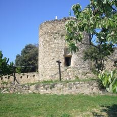
Castell de Montagut
3.6 km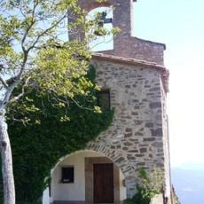
Mare de Déu del Cós
3.6 km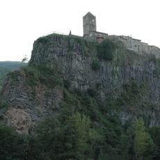
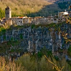
Cinglera de Castellfollit
4.5 km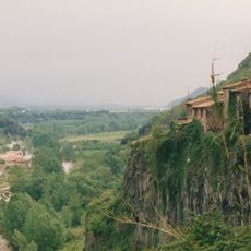
Església vella de Castellfollit de la Roca
4.4 km
Castell de Montpalau
673 m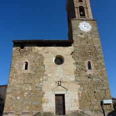
Sant Pere de Montagut
2.2 km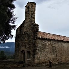
Mare de Déu de la Devesa
3.3 km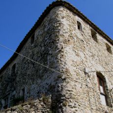
Castell d'Argelaguer
2.8 km
Caixurma caves
4 km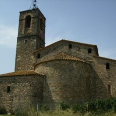
Santa Maria d'Argelaguer
2.8 km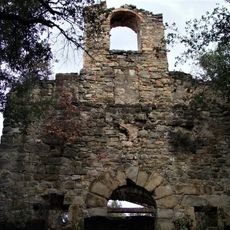
Mare de Déu de Mont-ros
4.7 km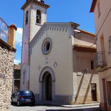
Església de Sant Jaume de Llierca
144 m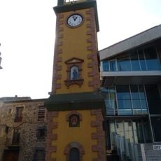
Torre del Rellotge
4.8 km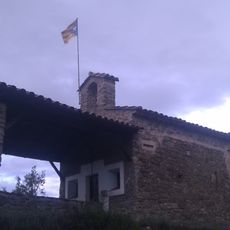
Santa Magdalena de Montpalau
666 m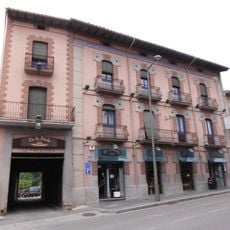
Ca la Paula
4.8 km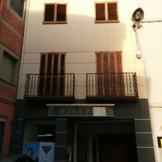
Farmàcia de Tortellà
3 km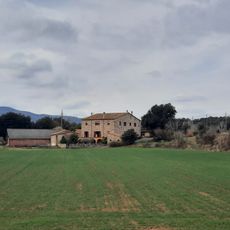
Masia Morató
2.3 km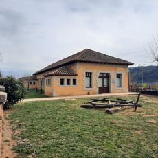
Antic edifici de les Escoles d'Argelaguer
2.6 km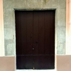
Llinda de la casa al carrer Sant Pere, 3
3 km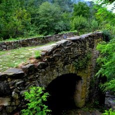
Restes d'un pont sobre el torrent Turonell
4.4 km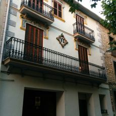
House in carrer Olot, 3
3 km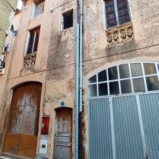
House in carrer de l'Amargura
2.9 km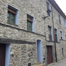
Can Damas
2.8 km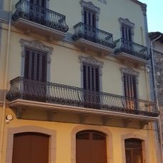
Vil·la Margarita
4.8 km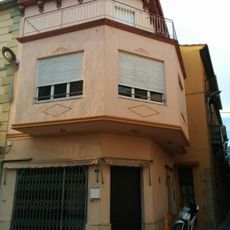
House in plaça del Mercat, 4
3 km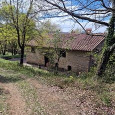
El Roure
4.6 km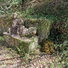
Font a Begudà
4.6 kmReviews
Visited this place? Tap the stars to rate it and share your experience / photos with the community! Try now! You can cancel it anytime.
Discover hidden gems everywhere you go!
From secret cafés to breathtaking viewpoints, skip the crowded tourist spots and find places that match your style. Our app makes it easy with voice search, smart filtering, route optimization, and insider tips from travelers worldwide. Download now for the complete mobile experience.

A unique approach to discovering new places❞
— Le Figaro
All the places worth exploring❞
— France Info
A tailor-made excursion in just a few clicks❞
— 20 Minutes