
Fogars de la Selva, municipality in the comarca of the Selva in Catalonia, Spain
Location: Selva
Location: Barcelona Province
Elevation above the sea: 45 m
Shares border with: Massanes, Maçanet de la Selva, Tordera, Sant Celoni, Sant Feliu de Buixalleu, Hostalric
Website: http://fogarsdelaselva.cat
GPS coordinates: 41.72806,2.68111
Latest update: March 3, 2025 14:01
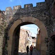
Castell d'Hostalric
4.3 km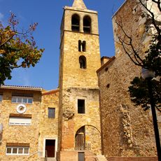
Sant Esteve de Tordera
4.3 km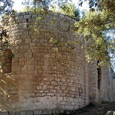
Canònica de Santa Maria de Roca-rossa
4.8 km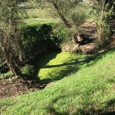
Gorg d'en Perxistor
6.5 km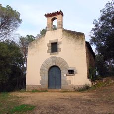
Sant Andreu
5.1 km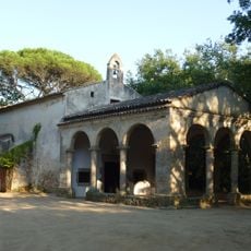
Capella de Sant Ponç
2.2 km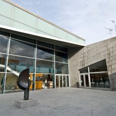
Teatre Clavé
4.5 km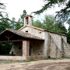
Església de Sant Tou de Tordera
3.6 km
Sant Andreu de Ramió
6.2 km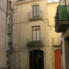
Ca l'Humet
4.2 km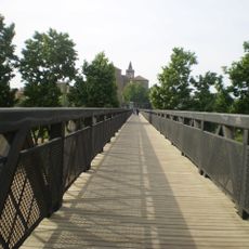
Pont de ferro
4.2 km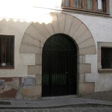
Can Coma
3.8 km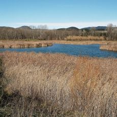
Les Llobateres
7.1 km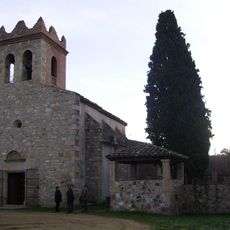
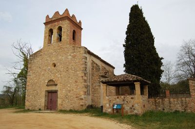
Església de Sant Cebrià de Fogars
1.2 km
Sant Vicenç de Tordera
1.7 km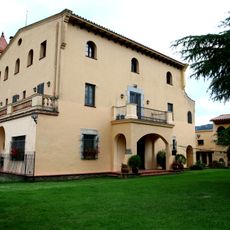
Can Telleda
3.7 km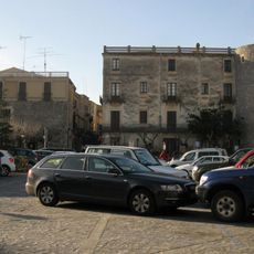
Plaça dels Bous
4 km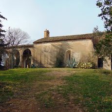
Mare de Déu de la Serra
4.4 km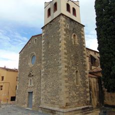
Santa Maria d'Hostalric
4.2 km
Mirador de la plaça de la Vila
4.3 km
Can Bofill
4.8 km
Can Pasqual
2.3 km
Carrer de Santa Llúcia
4.4 km
Casa de la Vila (Hostalric)
3.9 km
Cova del Relliguer
4.3 km
Higini Negra, 2
4.2 km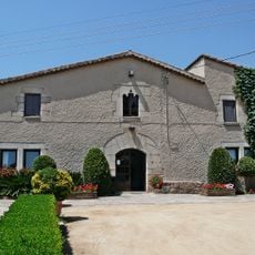
Can Caselles
4.9 km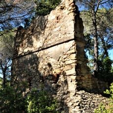
Torre de telegrafia del Turó Grós de Terra Negra
2.3 kmReviews
Visited this place? Tap the stars to rate it and share your experience / photos with the community! Try now! You can cancel it anytime.
Discover hidden gems everywhere you go!
From secret cafés to breathtaking viewpoints, skip the crowded tourist spots and find places that match your style. Our app makes it easy with voice search, smart filtering, route optimization, and insider tips from travelers worldwide. Download now for the complete mobile experience.

A unique approach to discovering new places❞
— Le Figaro
All the places worth exploring❞
— France Info
A tailor-made excursion in just a few clicks❞
— 20 Minutes