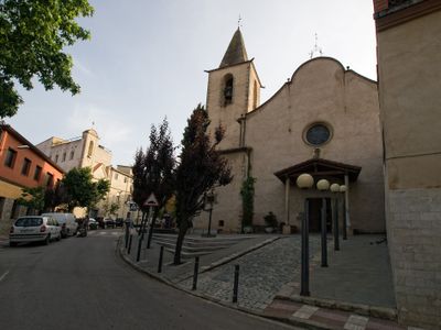
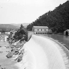
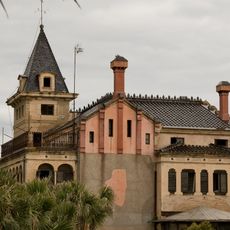
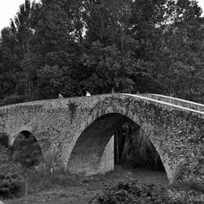
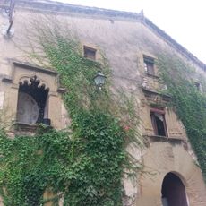
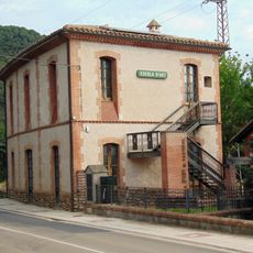
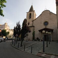
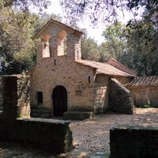
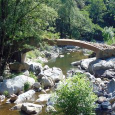
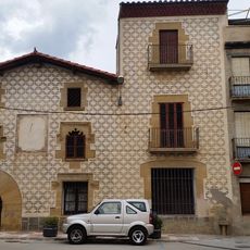
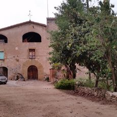
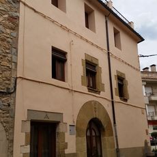
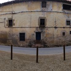
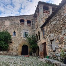
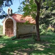
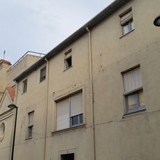
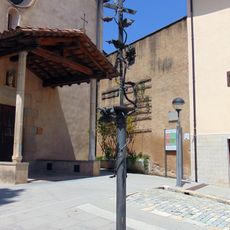
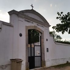
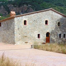
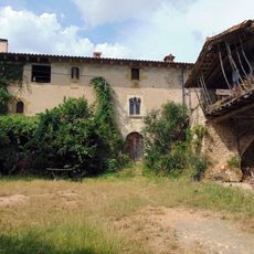
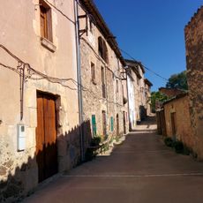
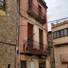
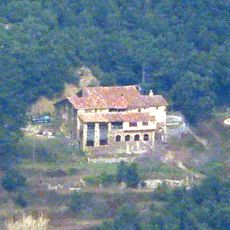
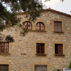
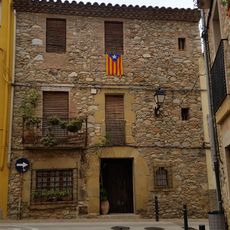
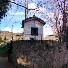
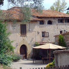
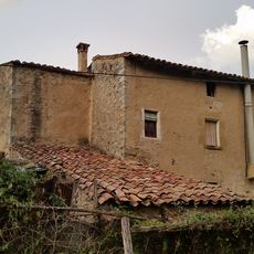
La Cellera de Ter, village in the province of Girona and autonomous community of Catalonia, Spain
Location: Selva
Location: Province of Girona
Elevation above the sea: 166 m
Shares border with: Amer, Sant Julià del Llor i Bonmatí, Anglès, Osor, Susqueda
Website: https://lacelleradeter.cat
GPS coordinates: 41.96829,2.62074
Latest update: March 23, 2025 09:29
Pantà del Pasteral
2.4 km
La Torre
1.5 km
Pont de Sant Julià del Llor
741 m
Sant Gregori
4.1 km
Can Cuc
1.5 km
Escola d'Art el Pasteral
2.2 km
Santa Maria de Sales de la Cellera
86 m
Sants Just i Pastor de la Cellera
1.7 km
Pont sobre la riera d'Osor
2.3 km
Can Dalmau
40 m
Can Vinyes
591 m
Can Pistola
21 m
Can Canova
51 m
Can Ribes
1.3 km
Sant Gregori d'Osor
4.3 km
Convent de les Germanes Carmelites
96 m
Creu de la plaça de l'Església
106 m
Cementiri Municipal de la Cellera de Ter
629 m
Can Carreres
2.2 km
Can Clos
1.4 km
Carrer Vell de Sant Julià del Llor
796 m
Can Farrés
74 m
Les Romagueres
5 km
Can Vernis
621 m
Can Vadó
54 m
Oratori de Sant Benet de Palerm
622 m
Can Moner
1.1 km
La Rovira
826 mReviews
Visited this place? Tap the stars to rate it and share your experience / photos with the community! Try now! You can cancel it anytime.
Discover hidden gems everywhere you go!
From secret cafés to breathtaking viewpoints, skip the crowded tourist spots and find places that match your style. Our app makes it easy with voice search, smart filtering, route optimization, and insider tips from travelers worldwide. Download now for the complete mobile experience.
A unique approach to discovering new places❞
— Le Figaro
All the places worth exploring❞
— France Info
A tailor-made excursion in just a few clicks❞
— 20 Minutes