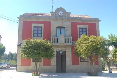
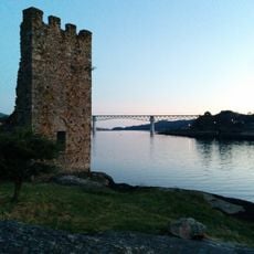
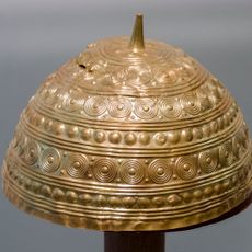
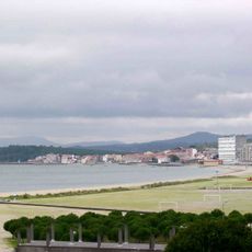
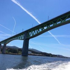
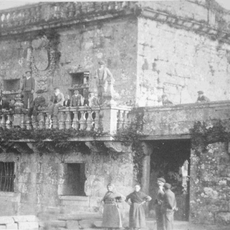
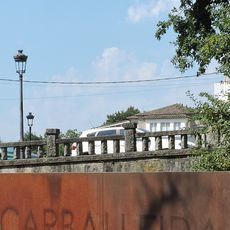
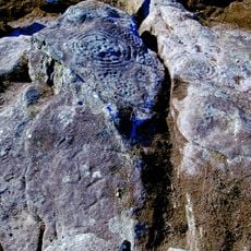
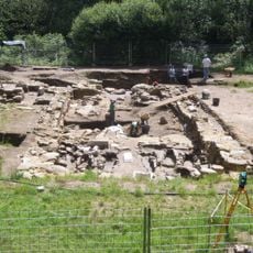
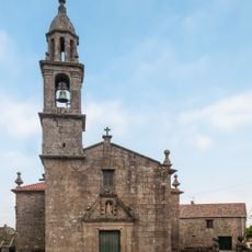
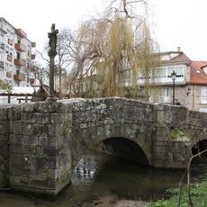
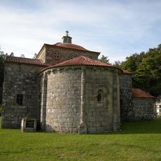
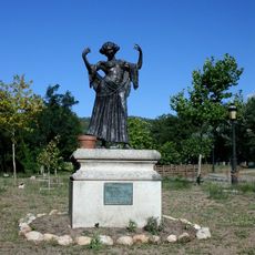
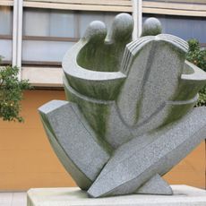
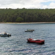
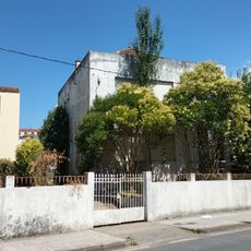
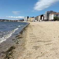
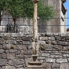
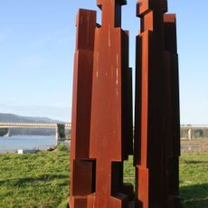
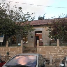
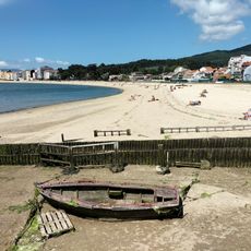
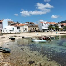
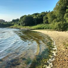
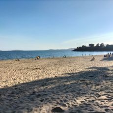
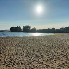
Catoira, municipality of Spain
The community of curious travelers
AroundUs brings together thousands of curated places, local tips, and hidden gems, enriched daily by 60,000 contributors worldwide.
Location
Capital city
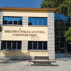
Catoira
Elevation above the sea
67 m
Part of
vrijwillige vereniging van gemeenten van Arousa, Mancomunidade Intermunicipal dos Vales do Ulla e Umia
Shares border with
Vilagarcía de Arousa, Caldas de Reis, Valga
Website
GPS coordinates
42.66114,-8.71493
Latest update
March 13, 2025 11:06