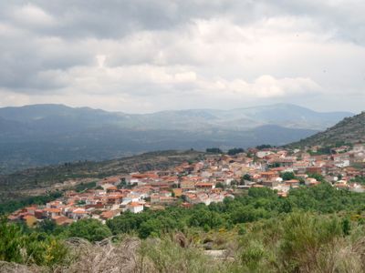
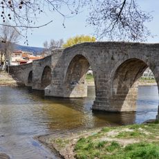
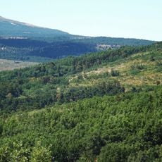
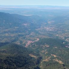
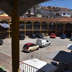
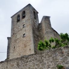
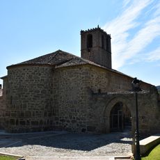
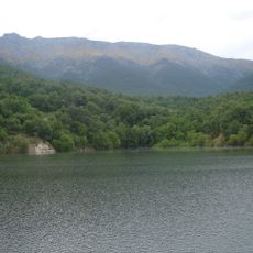
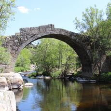
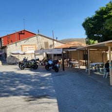
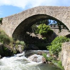
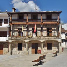
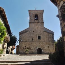
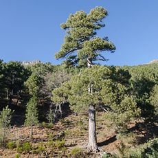
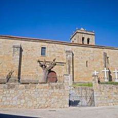
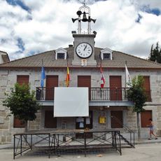
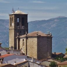
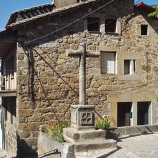
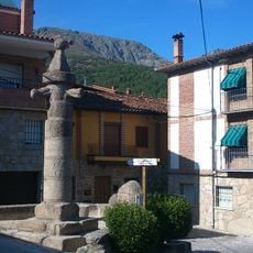
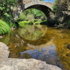
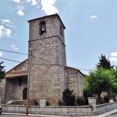
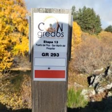
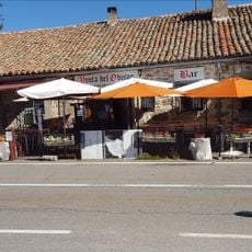
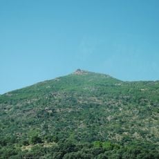
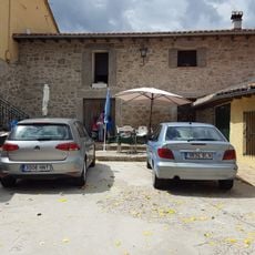
Villanueva de Ávila, municipality of Spain
Location: Province of Ávila
Elevation above the sea: 1,059 m
Part of: Mancomunitat «Alberche»
Shares border with: Navalosa, Navatalgordo, Navarrevisca, Burgohondo, Mijares
Website: http://villanuevadeavila.es
GPS coordinates: 40.37972,-4.82194
Latest update: June 23, 2025 14:25
Castle of La Adrada
17.9 km
Torozo
15.6 km
Pico Zapatero
13.2 km
Puente de Navaluenga
10.2 km
Pinar de Hoyocasero
13.7 km
Barranco de las Cinco Villas
18.2 km
Plaza de toros de Pedro Bernardo
16.9 km
Church of San Esteban Protomártir, San Esteban del Valle
17.8 km
Abadía de Nuestra Señora de la Asunción
5.1 km
Fuente Helecha
9.5 km
Puente romano de La Iglesuela
14.8 km
Venta Rasquilla
16.6 km
Valle del Tiétar
16.6 km
Town Hall of Piedralaves
12.5 km
Iglesia de San Antonio, Piedralaves
12.6 km
Black pine "Aprisquillo" in La Adrada
16 km
Iglesia del Salvador, La Adrada
18.2 km
Town Hall of Hoyocasero
13.2 km
Iglesia de Santa María de la Oliva, La Iglesuela
17.3 km
Cruz de los Enamorados, Piedralaves
12.5 km
Rollo de Villarejo del Valle
18 km
Bridge Mocho, Alberche
18.6 km
Iglesia de San Juan Bautista, Hoyocasero
13.2 km
GR 293
19.3 km
Venta del Obispo
17.1 km
Risco de la Sierpe
15.8 km
Venta Rasca
16.5 km
Fountain of the Romeros
16.7 kmVisited this place? Tap the stars to rate it and share your experience / photos with the community! Try now! You can cancel it anytime.
Discover hidden gems everywhere you go!
From secret cafés to breathtaking viewpoints, skip the crowded tourist spots and find places that match your style. Our app makes it easy with voice search, smart filtering, route optimization, and insider tips from travelers worldwide. Download now for the complete mobile experience.
A unique approach to discovering new places❞
— Le Figaro
All the places worth exploring❞
— France Info
A tailor-made excursion in just a few clicks❞
— 20 Minutes