Torozo, Mountain summit in Sierra de Gredos, Spain
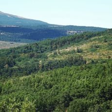
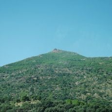
Torozo is a summit in the Macizo Oriental section of Sierra de Gredos reaching 2,021 meters with three distinct peaks arranged in a triangular formation. The mountain features hiking trails on the northern face and approximately 80 climbing routes on the southern side, extending up to 250 meters in height.
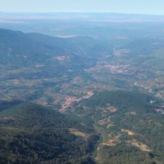
Torozo forms the westernmost summit of the eastern sector of the Sierra de Gredos, standing east of Puerto del Pico. Its geodesic vertex, in the municipality of Villarejo del Valle, is fixed at 2,021.586 metres above sea level. The peak lies within the Sierra de Gredos range in the province of Ávila.
The mountain was historically important to shepherds who moved flocks between seasonal pastures using established routes through the peaks. Visitors can still see the ancient paths that guided these migrations.
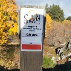
The easiest route starts from a track 800 m past Puerto del Pico toward Ávila. Follow it 3.2 km to the right, then take the dirt track for 2.8 km until you leave the car and continue on foot; the summit is 1 hour 15 minutes from there.
The summit carries a geodesic vertex marker of the Instituto Geográfico Nacional, numbered for the Torozo station, standing at 2,021.586 metres above sea level within the municipal boundary of Villarejo del Valle. The precise decimal figure comes from the official survey rather than a rounded estimate, and the marker itself is the small concrete pillar a walker finds at the top.
The community of curious travelers
AroundUs brings together thousands of curated places, local tips, and hidden gems, enriched daily by 94,583 contributors worldwide.