Puigcerdà

Log in to your account

AroundUs is a community-driven map of interesting places, built by curious explorers like you. It grows with every review, story, and photo you share.
Connect to save your favorite spots, contribute locations, and create personalized routes.
Continue with Google
Continue with Apple
Continue with X
Continue with Facebook
Continue with email
By continuing, you accept our Terms and Conditions and our Privacy Policy
Create an account
Add to collection
Map
Suggest a change
Share

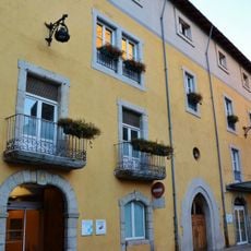
Puigcerdà, Mountain municipality in Cerdanya, Catalonia, Spain.

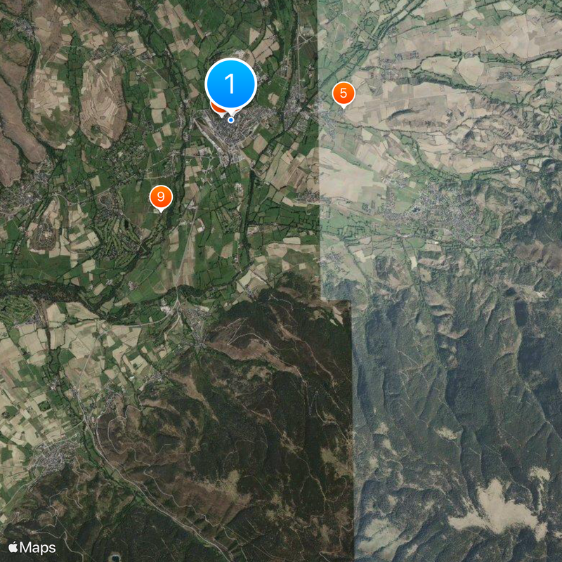
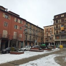
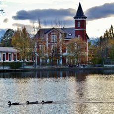
Puigcerdà is a mountain town in Cerdanya at about 1,200 meters elevation, situated near the Spanish-French border by the Segre River. The town sits on elevated terrain and offers access to the neighboring French municipality of Bourg-Madame.

King Alfonso I of Aragon founded the town in 1178 as the new administrative center of Cerdanya, replacing the earlier capital of Hix. This establishment made it an important administrative post in the border region.

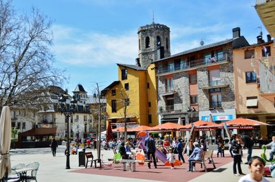
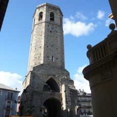
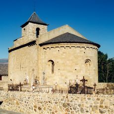
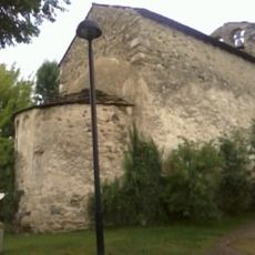
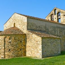
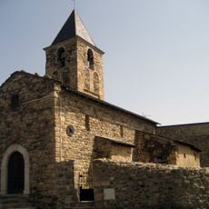
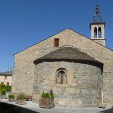
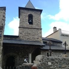
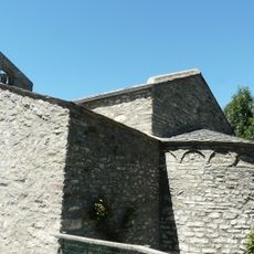
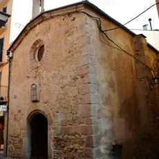
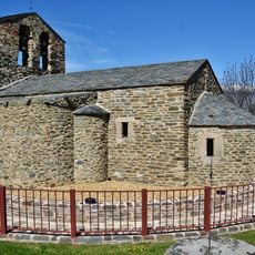
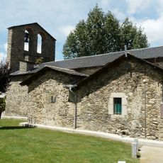
The Torre del Campanar stands as a 12th-century bell tower, the only remaining structure from the original parish church. Visitors today see this tower as a landmark that reflects the religious past of the town.

The railway network has connected the town to France since 1929 via the Portet-Saint-Simon line, enabling crossings of the Pyrenees. Visitors can easily walk through the compact town center and access the surrounding mountains.

During the Spanish Civil War, the town governed itself under a democratically elected Anarchist council, an exceptional case in Spanish administrative history. This unusual form of self-governance left traces in local memory.

Location: Lower Cerdanya

Location: Province of Girona

Inception: 1178

Capital city: Puigcerdà

Elevation above the sea: 1,202 m

Part of: Mancomunitat Intermunicipal de la Cerdanya

Shares border with: Alp, Fontanals de Cerdanya, Bolvir, Guils de Cerdanya, Enveitg, Ur, Bourg-Madame, Palau-de-Cerdagne

Address: Puigcerdà, Girona, Spain

Website: http://puigcerda.cat

GPS coordinates: 42.43167,1.92833

Latest update: December 19, 2025 22:38

Photos
Reviews

Visited this place? Tap the stars to rate it and share your experience / photos with the community! Try now! You can cancel it anytime.

« Puigcerdà - Mountain municipality in Cerdanya, Catalonia, Spain » is provided by Around Us (aroundus.com). Images and texts are derived from Wikimedia project under a Creative Commons license. You are allowed to copy, distribute, and modify copies of this page, under the conditions set by the license, as long as this note is clearly visible.

Discover hidden gems everywhere you go!

From secret cafés to breathtaking viewpoints, skip the crowded tourist spots and find places that match your style. Our app makes it easy with voice search, smart filtering, route optimization, and insider tips from travelers worldwide. Download now for the complete mobile experience.

Around Us App Screenshot

A unique approach to discovering new places

Le Figaro

All the places worth exploring

France Info

A tailor-made excursion in just a few clicks

20 Minutes