
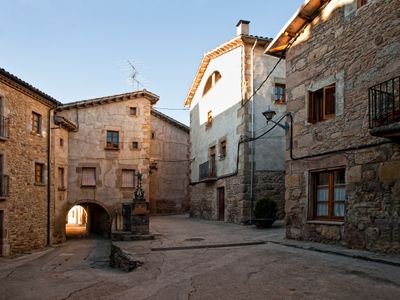
Alpens, municipality in Catalonia, Spain
Location: Lluçanès
Location: Barcelona Province
Elevation above the sea: 855 m
Part of: Mancomunitat del Bisaura i Alt Lluçanès
Shares border with: Borredà, Sant Agustí de Lluçanès, Sora, Les Llosses, Lluçà
Website: http://alpens.cat
GPS coordinates: 42.12056,2.10222
Latest update: March 5, 2025 00:29
Església de Santa Maria de Matamala
4.4 km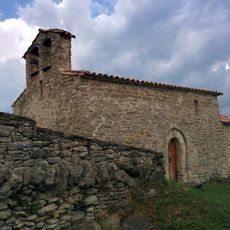
Sant Pere de Serrallonga
2.9 km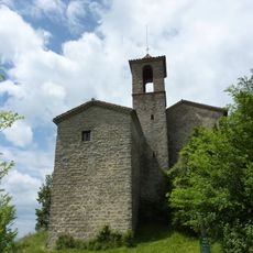
Santa Margarida de Vinyoles
2.7 km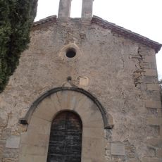
Sant Cristòfol de Borrassers
4.2 km
Sant Martí de Vinyoles de Portavella
3.5 km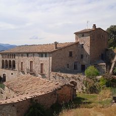
El Graell
1.6 km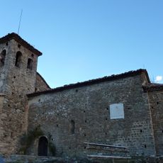
Santa Maria de les Llosses
3.6 km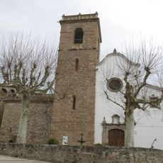
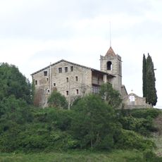
Santa Maria d'Alpens
197 m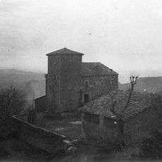
Casal de Portavella
3.4 km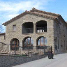
Cal Verdaguer, Cal Carbonell i Ca l'Aliguer
3.8 km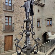
El Manelic
183 m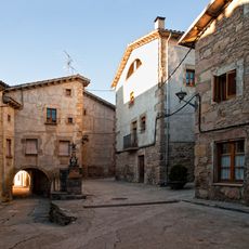
Cal Ferreró
176 m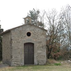
Sant Sebastià i Sant Romà d'Alpens
436 m
Cal Simon
3.7 km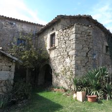
Ca n'Alou
3.6 km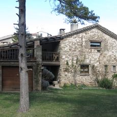
Cal Moles
3.9 km
Can Peiró
3.7 km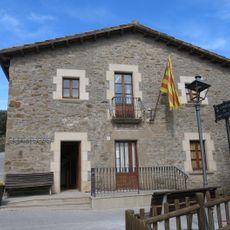
Casa de la Vila
3.8 km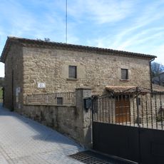
Cal Massana
3.8 km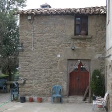
Can Roca
3.7 km
Cal Vigatà i Can Poll
3.8 km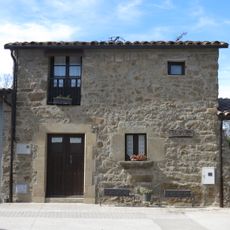
Cal Magre
3.7 km
Cal Ferrer
3.7 km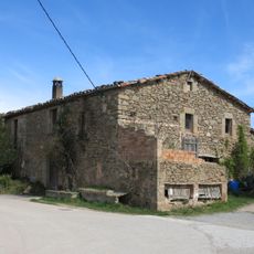
Cal Llorenç
3.7 km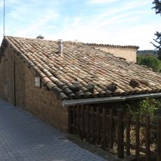
Cal Coima
3.8 km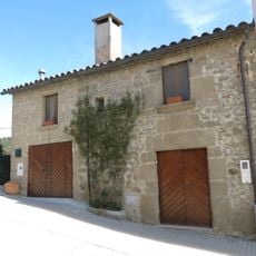
Cal Joan
3.8 km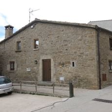
Cal Pau
3.8 km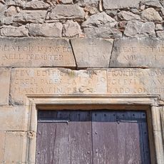
Sant Joan del Graell
1.5 kmReviews
Visited this place? Tap the stars to rate it and share your experience / photos with the community! Try now! You can cancel it anytime.
Discover hidden gems everywhere you go!
From secret cafés to breathtaking viewpoints, skip the crowded tourist spots and find places that match your style. Our app makes it easy with voice search, smart filtering, route optimization, and insider tips from travelers worldwide. Download now for the complete mobile experience.

A unique approach to discovering new places❞
— Le Figaro
All the places worth exploring❞
— France Info
A tailor-made excursion in just a few clicks❞
— 20 Minutes