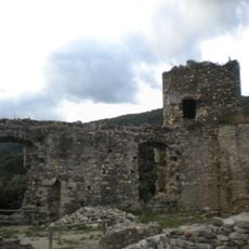
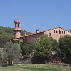
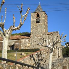
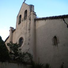
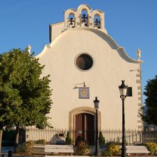
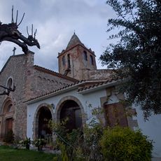
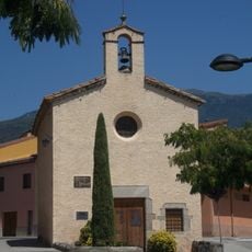
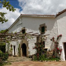
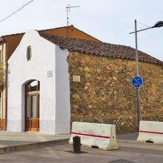
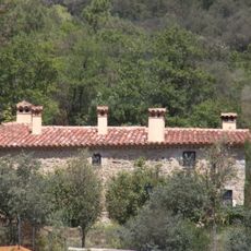
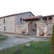
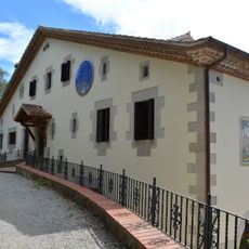
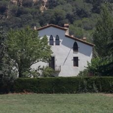
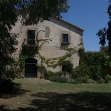
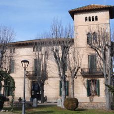
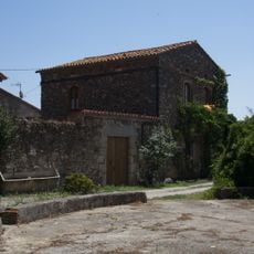
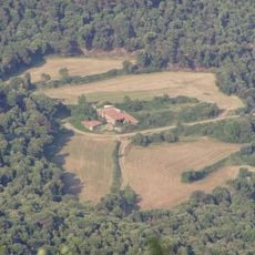
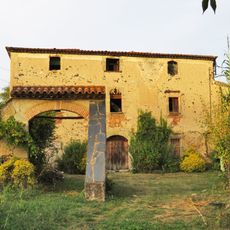
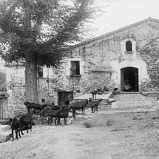
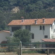
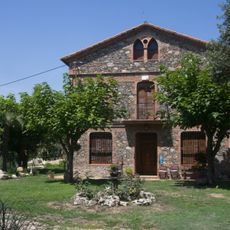
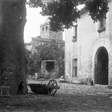
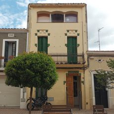
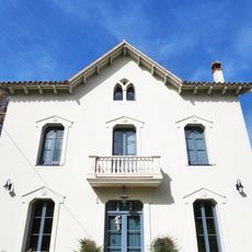
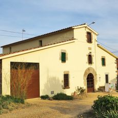
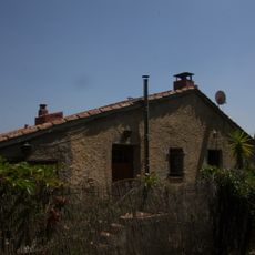
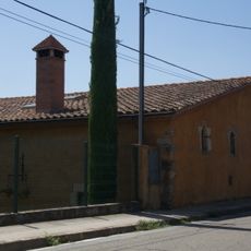
Sant Esteve de Palautordera, municipality in Catalonia, Spain
Location: Vallès Oriental
Elevation above the sea: 231 m
Shares border with: Fogars de Montclús, Santa Maria de Palautordera, Sant Pere de Vilamajor
Website: http://santestevedepalautordera.cat
GPS coordinates: 41.70614,2.43192
Latest update: March 3, 2025 21:57
Montclús Castle
1.9 km
Castell de Fluvià
2.3 km
Church of Saint Martin Mosqueroles
2.6 km
Church of St. Mary Magdalene Mosqueroles
2.1 km
Capella de Nostra Senyora del Remei
901 m
Església de Sant Esteve (Sant Esteve de Palautordera)
571 m
Ermita de Santa Margarida
1.3 km
Can Cucurull
674 m
Antiga ermita del Remei
898 m
Can Net
2.5 km
Cal Pastor (Santa Maria de Palautordera)
1.7 km
Oficina del Parque Natural del Montseny
2.6 km
Can Martorell
1.4 km
Can Garbeller
463 m
Torre de Sant Josep
1.2 km
Ca n'Auleda
2.1 km
Can Bonamic
2 km
Vallmanya (Sant Pere de Vilamajor)
3.9 km
Can Pou
1.1 km
Can Vilatort
1.1 km
Can Pol
1.6 km
Can Rossell
276 m
Can Molins
603 m
House in passeig del Remei, 8
1.6 km
House in passeig del Remei, 40-42
1.4 km
Can Barceló
759 m
Can Ferrers
2.4 km
Can Giol
240 mReviews
Visited this place? Tap the stars to rate it and share your experience / photos with the community! Try now! You can cancel it anytime.
Discover hidden gems everywhere you go!
From secret cafés to breathtaking viewpoints, skip the crowded tourist spots and find places that match your style. Our app makes it easy with voice search, smart filtering, route optimization, and insider tips from travelers worldwide. Download now for the complete mobile experience.
A unique approach to discovering new places❞
— Le Figaro
All the places worth exploring❞
— France Info
A tailor-made excursion in just a few clicks❞
— 20 Minutes