
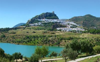
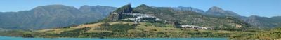
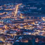
Zahara de la Sierra, Mountain village in Sierra de Grazalema Natural Park, Spain.
The white buildings of Zahara de la Sierra rise in steps along a mountain slope, reaching an elevation of 500 meters above sea level.
The village served as a Moorish stronghold until 1407, when it fell to Christian forces, though it returned briefly to Arab control in 1481.
The Plaza Mayor forms the central gathering point, featuring the Church of Santa María de la Meza and traditional buildings that reflect local architecture.
Visitors can park vehicles at designated areas at the bottom of the village or follow the one-way road system to reach central locations.
The Embalse de Zahara-el Gastor reservoir beneath the village creates a water mirror that reflects the white houses and medieval castle.
Location: Cádiz Province
Capital city: Zahara de la Sierra
Elevation above the sea: 500 m
Part of: Arcos de la Frontera notary district, Mancomunidad de Municipios de la Sierra de Cádiz, Sierra de Cádiz
Shares border with: Algodonales, El Gastor, Grazalema, El Bosque, Prado del Rey, Villamartín
Website: http://zaharadelasierra.es
GPS coordinates: 36.83333,-5.38333
Latest update: May 27, 2025 06:50
Andalusia offers many sites away from typical tourist routes. This southern region of Spain is home to ancient troglodyte dwellings in Guadix, mountain villages like Zahara de la Sierra perched around medieval castles, and natural parks such as Cabo de Gata-Níjar extending over 50 kilometers of coast. Geological formations include the red volcanic rocks of Riotinto, a result of 5,000 years of mining, and canyons housing 240 Bronze Age dolmens in Gorafe park. Villages like Setenil de las Bodegas feature unique architecture, with houses built beneath natural rock overhangs shaped by the Trejo River. The Castle of La Calahorra, built in 1509 at an altitude of 1200 meters, combines Spanish fortifications with Italian Renaissance decoration. Further north, Baños de la Encina hosts the Burgalimar Castle dating from 968, surrounded by extensive olive groves. These sites showcase different facets of Andalusian heritage, from prehistoric remains to Moorish inscriptions, in environments ranging from mountains to Mediterranean coastal zones.
El Torreón
8.3 km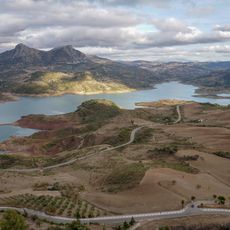
Zahara-El Gastor Reservoir
1.4 km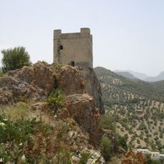
Castle of Zahara de la Sierra
871 m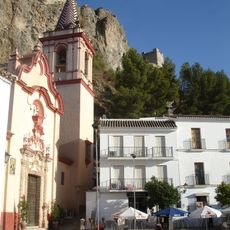
Iglesia de Santa María de la Mesa (Zahara)
1 km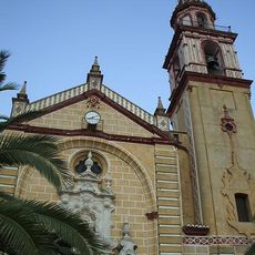
Iglesia de Santa Ana
5.7 km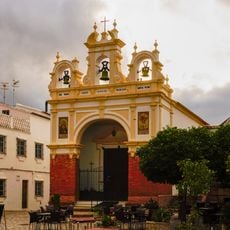
Capilla de San Juan de Letrán (Zahara)
1.1 km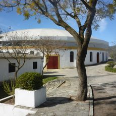
Plaza de toros de El Bosque
14.2 km
Fuente del Algarrobo
5.7 km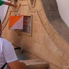
Fuente de la Plaza de Abastos
13.6 km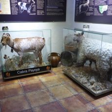
Centro de Interpretación del Queso de El Bosque
14.2 km
Casa consistorial de Zahara de la Sierra
1 km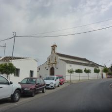
Ermita de Nuestro Padre Jesús
5.5 km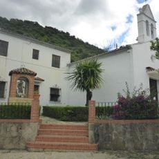
Iglesia Parroquial de San Antonio de Padua
10.6 km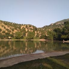
Playita de Arroyomolinos
2 km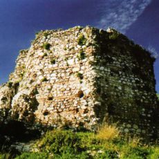
Torre Hexagonal (Zahara)
926 m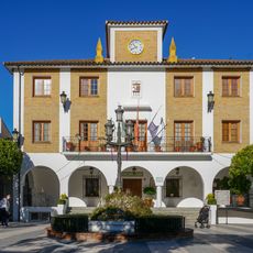
Casa consistorial de El Bosque
13.7 km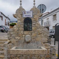
Fuente de la Calle Nueva
8.3 km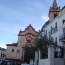
Centro Histórico de Zahara de la Sierra
1 km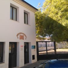
Biblioteca Pública Municipal de El Bosque
13.9 km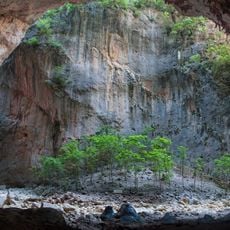
Cueva de la Garganta (Zahara)
2.8 km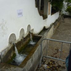
Los Tres Caños
10.5 km
Centro de Visitantes Parque Natural Sierra de Grazalema
14.2 km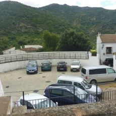
Plaza de Toros de Benamahoma
10.6 km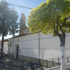
Iglesia Parroquial de El Bosque
13.7 km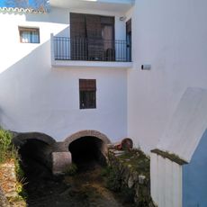
Molino Harinero de Abajo
14.2 km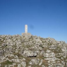
Coros
4.9 km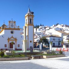
Parroquia de Nuestra Señora del Carmen
13.7 km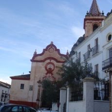
Vivienda 0035 (Zahara)
1 kmReviews
Visited this place? Tap the stars to rate it and share your experience / photos with the community! Try now! You can cancel it anytime.
Discover hidden gems everywhere you go!
From secret cafés to breathtaking viewpoints, skip the crowded tourist spots and find places that match your style. Our app makes it easy with voice search, smart filtering, route optimization, and insider tips from travelers worldwide. Download now for the complete mobile experience.

A unique approach to discovering new places❞
— Le Figaro
All the places worth exploring❞
— France Info
A tailor-made excursion in just a few clicks❞
— 20 Minutes