Nogueira de Ramuín

Log in to your account

AroundUs is a community-driven map of interesting places, built by curious explorers like you. It grows with every review, story, and photo you share.
Connect to save your favorite spots, contribute locations, and create personalized routes.
By continuing, you accept our Terms and Conditions and our Privacy Policy
Add to collection
Map
Suggest a change
Share

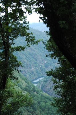
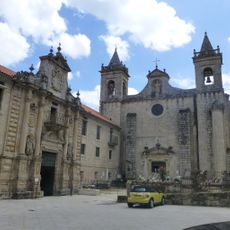
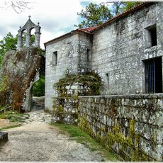
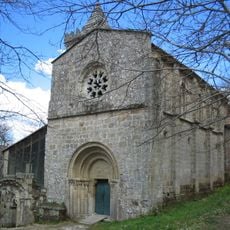
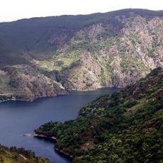
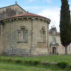
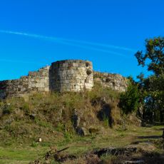
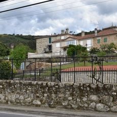
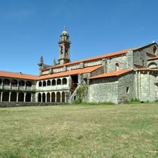
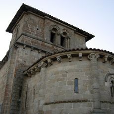
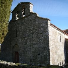
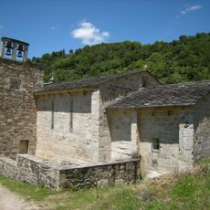
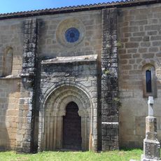
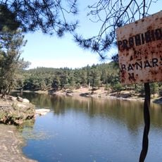
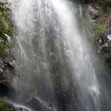
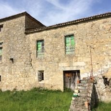
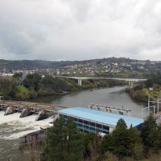
Nogueira de Ramuín, municipality of Spain

Location: Ourense

Capital city: 
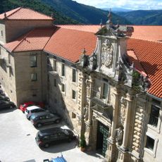
Luíntra, Nogueira de Ramuín

Elevation above the sea: 660 m

Website: http://www.nogueiraderamuin.gal

Part of: Mancomunidad Voluntaria de Municipios de la Comarca de Ourense, Mancomunidade Intermunicipal «Ribeira Sacra»

Shares border with: Pantón, Sober, Parada de Sil, Xunqueira de Espadanedo, Esgos, O Pereiro de Aguiar, A Peroxa

Website: http://nogueiraderamuin.gal

GPS coordinates: 42.41972,-7.75306

Latest update: March 7, 2025 13:58

Reviews

Visited this place? Tap the stars to rate it and share your experience / photos with the community! Try now! You can cancel it anytime.

« Nogueira de Ramuín - municipality of Spain » is provided by Around Us (aroundus.com). Images and texts are derived from Wikimedia project under a Creative Commons license. You are allowed to copy, distribute, and modify copies of this page, under the conditions set by the license, as long as this note is clearly visible.

Discover hidden gems everywhere you go!

From secret cafés to breathtaking viewpoints, skip the crowded tourist spots and find places that match your style. Our app makes it easy with voice search, smart filtering, route optimization, and insider tips from travelers worldwide. Download now for the complete mobile experience.

Around Us App Screenshot

A unique approach to discovering new places

Le Figaro

All the places worth exploring

France Info

A tailor-made excursion in just a few clicks

20 Minutes