
Taboada, municipality of Spain
Location: Lugo Province
Elevation above the sea: 540 m
Shares border with: Portomarín, Paradela, O Saviñao, Chantada, Antas de Ulla, Monterroso, Rodeiro
Website: http://concellotaboada.es
GPS coordinates: 42.71572,-7.76288
Latest update: March 7, 2025 04:11
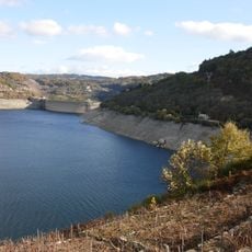
Belesar reservoir
10 km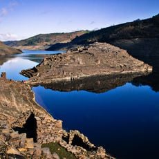
Castro Candaz
6.6 km
Church of San Pedro de Bembibre
1.4 km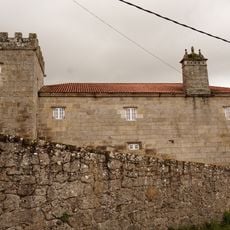
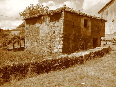
Pazo de San Pedro de Bembibre
967 m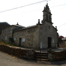
Church of Santiago de Aldosende
10.9 km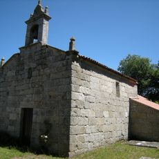
Church of San Cristovo de Viloíde
4.3 km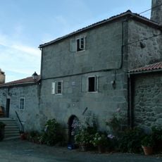
Tower of Moreda
1.7 km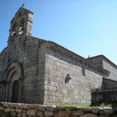
Church of San Salvador de San Breixo
8.3 km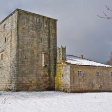
Torre de San Miguel de Penas
10.2 km
Church of San Pedro de Frameán
8 km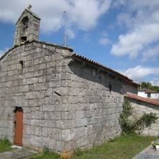
Church of Santa María do Bispo, Monterroso
5 km
Church of San Salvador de Valboa
6.4 km
Church of Santa Eufemia de Satrexas
10.4 km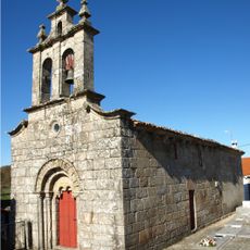
Church of San Miguel de Esporiz
11.1 km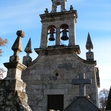
Church of Santo André de Sirgal
9.4 km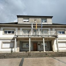
Town Hall of Taboada
100 m
Town Hall of Monterroso
10.5 km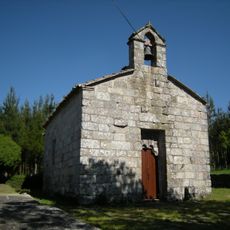
Church of San Martiño de Fente
7.3 km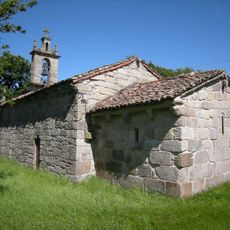
Church of San Cibrao de Pol
9.5 km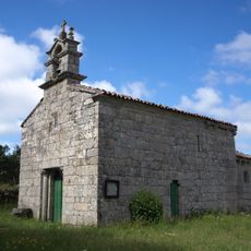
Church of Santa Mariña de Sucastro
6.7 km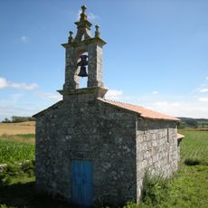
Church of San Cibrao dos Ferreiros
5.1 km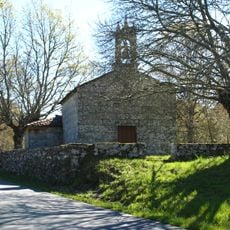
Church of Santiago de Lavandelo
11.4 km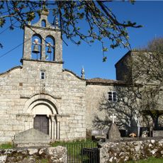
Church of San Miguel de Penas
10.2 km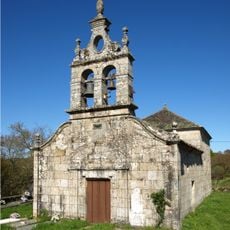
Church of Santa María de Arada
10.4 km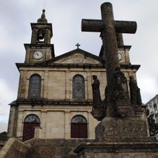
New church of San Miguel de Esporiz
10.5 km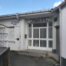
Biblioteca Pública Municipal de Monterroso
10.4 km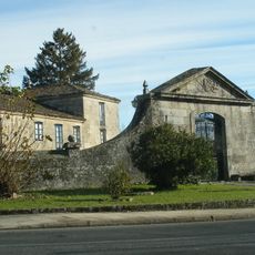
Pazo de Laxe
10.1 km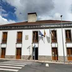
Biblioteca Pública Municipal de Taboada
166 mReviews
Visited this place? Tap the stars to rate it and share your experience / photos with the community! Try now! You can cancel it anytime.
Discover hidden gems everywhere you go!
From secret cafés to breathtaking viewpoints, skip the crowded tourist spots and find places that match your style. Our app makes it easy with voice search, smart filtering, route optimization, and insider tips from travelers worldwide. Download now for the complete mobile experience.

A unique approach to discovering new places❞
— Le Figaro
All the places worth exploring❞
— France Info
A tailor-made excursion in just a few clicks❞
— 20 Minutes