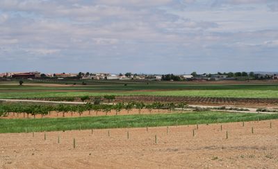
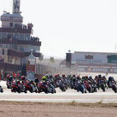
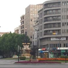
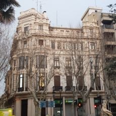
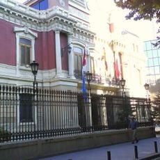
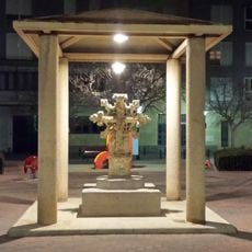
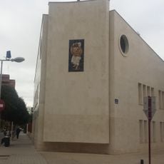
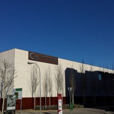
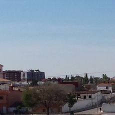
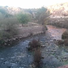
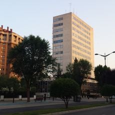
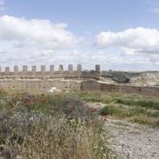
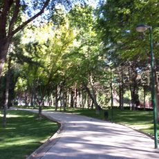
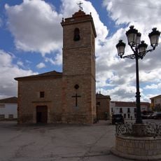
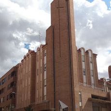
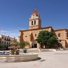
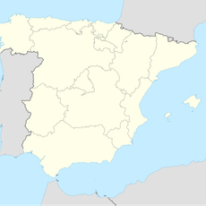
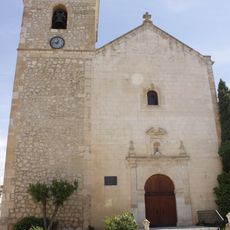
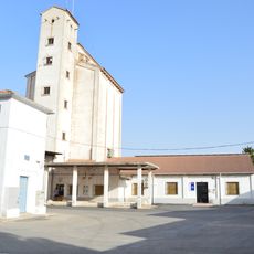
Valdeganga, municipality of Spain
Location: Albacete Province
Capital city: Valdeganga
Elevation above the sea: 676 m
Part of: Mancomunitat «Manchuela del Júcar», Mancomunidad para el Desarrollo de La Manchuela, Mancomunidad «Unión Manchuela»
Shares border with: Albacete, Mahora, Fuentealbilla, Jorquera, Casas de Juan Núñez, Chinchilla de Montearagón
GPS coordinates: 39.11265,-1.67271
Latest update: March 23, 2025 17:01
Circuito de Albacete
15.8 km
Teatro Circo de Albacete
20.4 km
Torre Las Pajaritas
20.3 km
RENFE 141F-2415
20 km
Fuente de las Ranas
20.2 km
Hotel Regina
20.2 km
Industria
20.3 km
Puente de Madera
20.1 km
Fiscalía de Castilla-La Mancha
20.4 km
Palacio Provincial de Albacete
20.3 km
Escuela de Arte de Albacete
20 km
Cruz de Término
20.2 km
Iglesia de El Buen Pastor
20 km
Casa de la Cultura José Saramago
20.2 km
Iglesia Ave María
19.9 km
Paraje de Cuasiermas
14.1 km
Torre de la Consejería de Educación
20.1 km
Palacio Episcopal de Albacete
20.3 km
Castle and walls of Jorquera
14.9 km
Parque Polígono San Antón
20 km
Church of Saint Peter, Casas de Juan Núñez
10 km
Church of Sagrada Familia, Albacete
20.3 km
Church of the Assumption, Mahora
12 km
Fábrica de Harinas
20.1 km
Church of Saint Michael, Abengibre
15.5 km
Silo of Madrigueras
17.3 km
Biblioteca Pública Municipal de Fuentealbilla - Bormate
11.1 km
Silo de Albacete
20 kmReviews
Visited this place? Tap the stars to rate it and share your experience / photos with the community! Try now! You can cancel it anytime.
Discover hidden gems everywhere you go!
From secret cafés to breathtaking viewpoints, skip the crowded tourist spots and find places that match your style. Our app makes it easy with voice search, smart filtering, route optimization, and insider tips from travelers worldwide. Download now for the complete mobile experience.
A unique approach to discovering new places❞
— Le Figaro
All the places worth exploring❞
— France Info
A tailor-made excursion in just a few clicks❞
— 20 Minutes