
Mendata, municipality of Spain
Location: Busturialdea
Elevation above the sea: 245 m
Part of: Intercommunalité de Busturialde, Intercommunalité des services sociaux de Busturialdea
Shares border with: Ajangiz, Munitibar-Arbatzegi Gerrikaitz, Muxika, Arratzu, Nabarniz, Aulesti
GPS coordinates: 43.28222,-2.64250
Latest update: April 6, 2025 18:04
Casa De Juntas De Gernika
4.6 km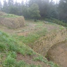
Oppidum of Arrola
4.3 km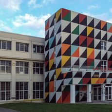
Astra Gaztetxea
4.4 km
Ibarrako San Pedro baseliza
5.3 km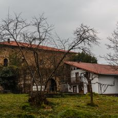
Muxika dorretxea
4.1 km
La Union plaza
4.6 km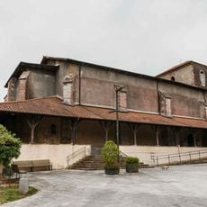
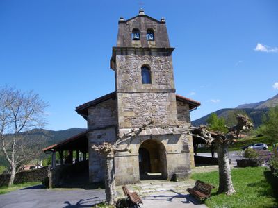
Church of Santo Tomas, Arratzu
1.7 km
San Roman baseliza
4.2 km
San Joan Bataiatzailearen eliza
3.6 km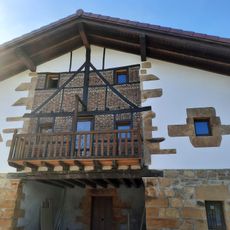
Jauregi
4.1 km
Undajauregi
5.6 km
Usparitzako San Migel baseliza
4.1 km
Undagoitia
5.7 km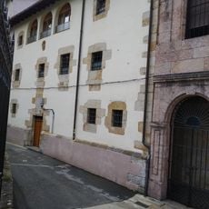
Church and Convent of Santa Clara, Gernika
4.6 km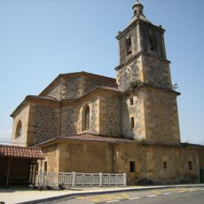
Church of the Ascension, Ajangiz
3.4 km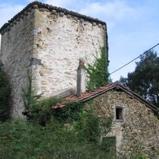
Montalban dorrea
1 km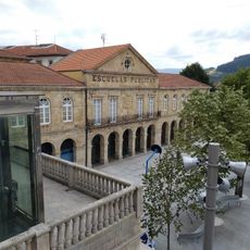
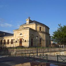
Escuelas Públicas del Pasealeku, Gernika
4.6 km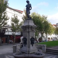
Mahats-biltzailearen iturria
4.6 km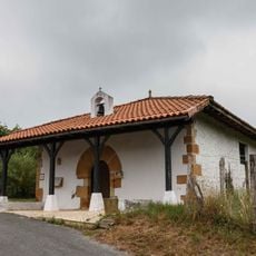
San Pedro baseliza
861 m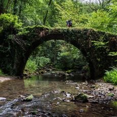
Artzubiko galtzada
1.6 km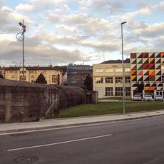
Buildings in Gernika-Lumo
4.3 km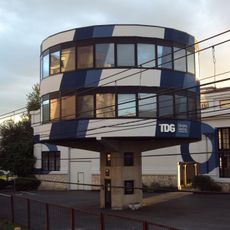
Talleres de Guernica. Oficinas
4.3 km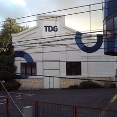
Talleres de Guernica. Pabellón 2
4.3 km
Talleres De Guernica
4.3 km
Ferrería - Molino Bengolea
4.7 km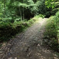
Camino Zarra - Elexalde
1.7 km
Talleres de Guernica. Pabellón 3
4.2 km
Zarra - Elexalde bidea
1.2 kmReviews
Visited this place? Tap the stars to rate it and share your experience / photos with the community! Try now! You can cancel it anytime.
Discover hidden gems everywhere you go!
From secret cafés to breathtaking viewpoints, skip the crowded tourist spots and find places that match your style. Our app makes it easy with voice search, smart filtering, route optimization, and insider tips from travelers worldwide. Download now for the complete mobile experience.

A unique approach to discovering new places❞
— Le Figaro
All the places worth exploring❞
— France Info
A tailor-made excursion in just a few clicks❞
— 20 Minutes