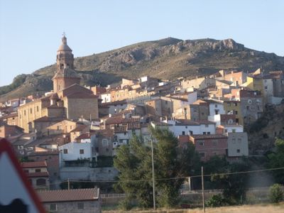
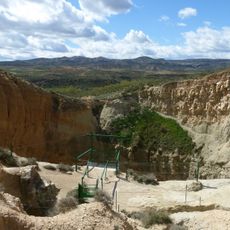
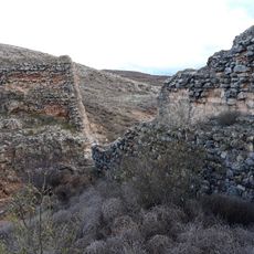
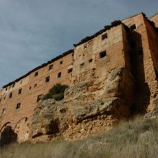
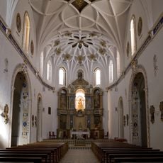
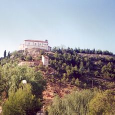
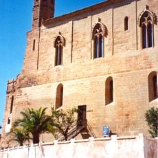
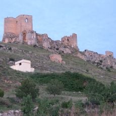
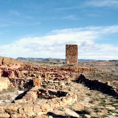
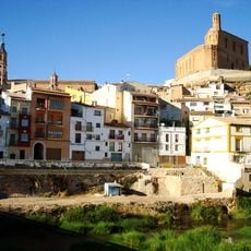
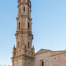
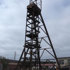
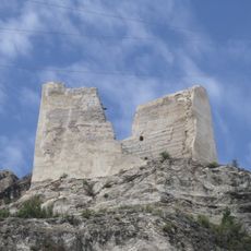
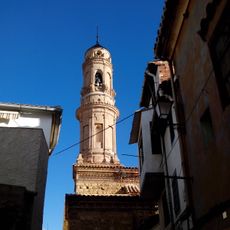
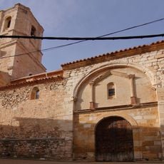
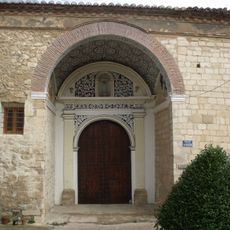
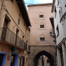
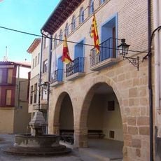
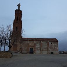
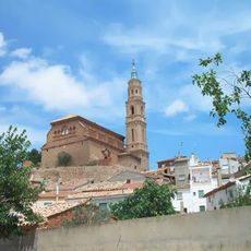
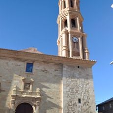
Oliete, municipality of Spain
The community of curious travelers
AroundUs brings together thousands of curated places, local tips, and hidden gems, enriched daily by 60,000 contributors worldwide.
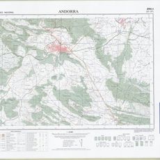
Location
Location
Capital city
Oliete
Elevation above the sea
541 m
Shares border with
Alloza, Alcaine, Alacón, Estercuel, Ariño, Muniesa
Website
GPS coordinates
40.99354,-0.67964
Latest update
March 19, 2025 01:53