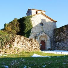
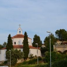
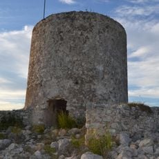
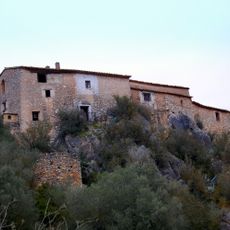
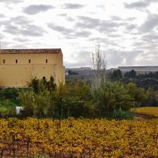
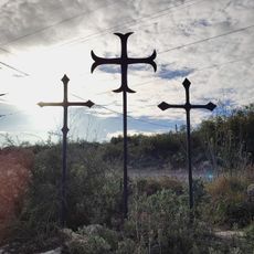
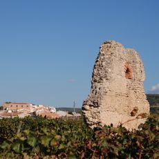
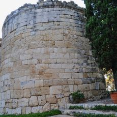
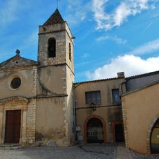
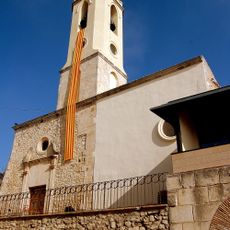
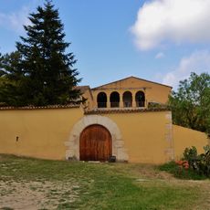
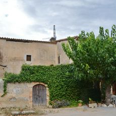
Avinyonet del Penedès, municipality of Spain
Location: Alt Penedès
Elevation above the sea: 280 m
Part of: Mancomunitat Penedès i Garraf
Shares border with: La Granada, Subirats, Olesa de Bonesvalls, Olivella, Olèrdola, Sant Cugat Sesgarrigues, Santa Fe del Penedès
Website: http://avinyonet.org
GPS coordinates: 41.36306,1.77889
Latest update: March 13, 2025 10:02
Sant Sebastià dels Gorgs
2.3 km
Font de la Canya
955 m
Santa Margarida d'Avinyonet del Penedès
1.9 km
Museo de Esperanto de Subirats
2.6 km
Castell d'Olivella
5.6 km
Església de Sant Pau d'Ordal
2.5 km
Caseria de Santa Susanna
4.5 km
Antic Hospital de Cervelló
6 km
Castell d'Avinyó
1.2 km
Les Tres Creus
1.4 km
Creu del Pago
3.5 km
Torrota del Moro
3.2 km
Torre de les Gunyoles
1.2 km
Torre de la Guàrdia
3.3 km
Església de Sant Pere Molanta
3.8 km
Penya del Papiol
5.3 km
Sant Esteve d'Ordal
6.5 km
Sant Pere d'Avinyó
1.2 km
Torre de l'Arboçar de Baix
4 km
Sant Salvador de les Gunyoles
1.2 km
Can Parellada
6.5 km
Can Ràfols dels Caus
1.9 km
Colomar de l'Arboçar de Baix
4.3 km
Sant Cugat de Sant Cugat Sesgarrigues
2.2 km
Cal Mata del Racó
3.5 km
Montargull
2.8 km
Can Grases
2 km
Can Massana
2.2 kmReviews
Visited this place? Tap the stars to rate it and share your experience / photos with the community! Try now! You can cancel it anytime.
Discover hidden gems everywhere you go!
From secret cafés to breathtaking viewpoints, skip the crowded tourist spots and find places that match your style. Our app makes it easy with voice search, smart filtering, route optimization, and insider tips from travelers worldwide. Download now for the complete mobile experience.
A unique approach to discovering new places❞
— Le Figaro
All the places worth exploring❞
— France Info
A tailor-made excursion in just a few clicks❞
— 20 Minutes