Enable Location

We need your location to show you interesting places around you

Discover nearby places

Find interesting locations and hidden gems around you

Precise directions

Get accurate directions and distances to places

Your location is never shared with other users. It's only used when you tap the location button.

Azuqueca de Henares

Log in to your account

Start exploring — it's free

Trusted by 62,059 travelers worldwide

Continue with Google
Continue with Apple
or

We will send you a code to connect

By continuing, you accept our Terms and Conditions and our Privacy Policy

Check your inbox

We've sent a pincode in your inbox. Please enter the code below.

Azuqueca de Henares

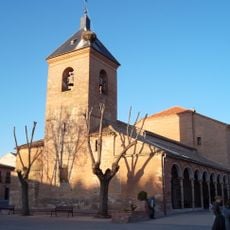
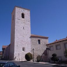
Azuqueca de Henares, Municipality in Guadalajara Province, Spain

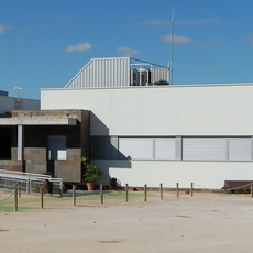
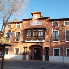
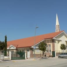
Azuqueca de Henares is a municipality in Guadalajara Province located at approximately 627 meters elevation, connected to Madrid through conventional railway lines and the Toll Radial 2 Highway. The town provides two health centers, six public primary schools, three public high schools, and various sports facilities for residents.

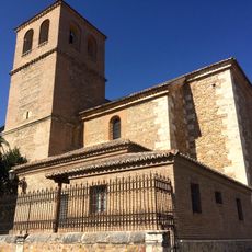
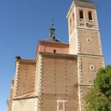
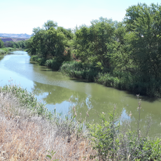
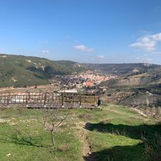
The settlement began as a Roman village near the Henares River in the second century BCE and later became a trading hub during the Arabic period. Its location on an ancient commercial route shaped its development across centuries.

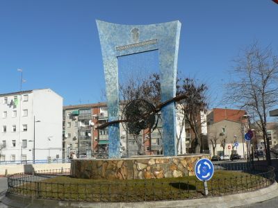
The town hosts its main festivities on the third Sunday of September with a celebratory parade that draws regional attention. These celebrations reflect the local community's spirit and traditions.

Visitors should take advantage of the convenient rail connections to Madrid, which make the town easily accessible. The schools and health centers in place show that it functions as a well-serviced community.

The name Azuqueca comes from Arabic and means "lane" or "path", reflecting its position along an ancient Roman road. This road connected Mérida to Zaragoza and placed the settlement at a key point on old trading routes.

The community of curious travelers

AroundUs brings together thousands of curated places, local tips, and hidden gems, enriched daily by 60,000 contributors worldwide.

Start exploring
Capital city
Azuqueca de Henares
Elevation above the sea
627 m
Part of
Mancomunidad de Aguas del Sorbe, Mancomunitat «Vega del Henares»
Shares border with
Alovera, Chiloeches, Los Santos de la Humosa, Alcalá de Henares, Meco, Villanueva de la Torre
GPS coordinates
40.56472,-3.26806
Latest update
December 19, 2025 23:24
« Azuqueca de Henares - Municipality in Guadalajara Province, Spain » is provided by Around Us (aroundus.com). Images and texts are derived from Wikimedia project under a Creative Commons license. You are allowed to copy, distribute, and modify copies of this page, under the conditions set by the license, as long as this note is clearly visible.

Discover hidden gems everywhere you go!

From secret cafés to breathtaking viewpoints, skip the crowded tourist spots and find places that match your style. Our app makes it easy with voice search, smart filtering, route optimization, and insider tips from travelers worldwide. Download now for the complete mobile experience.

Around Us App Screenshot

A unique approach to discovering new places

Le Figaro

All the places worth exploring

France Info

A tailor-made excursion in just a few clicks

20 Minutes

Around Us
Travel Guide & Maps
Download

Send to your phone

QR Code
1

Open the camera app on your mobile.

2

Point at the QR code with your camera. A notification will appear.

3

Tap the notification to open the link.