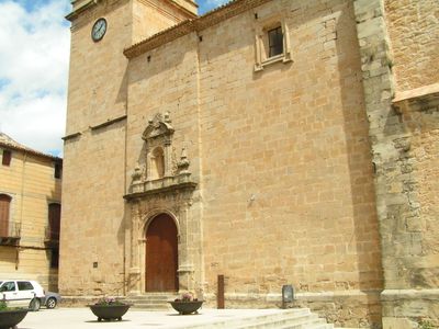
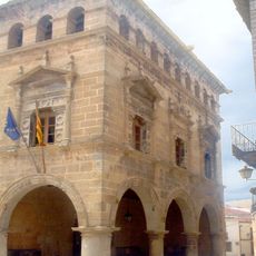
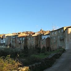
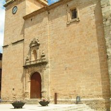
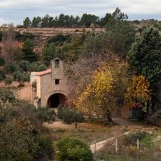
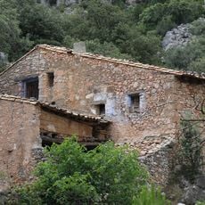
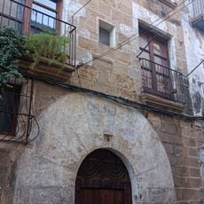
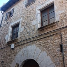
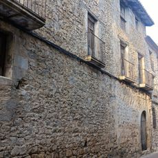
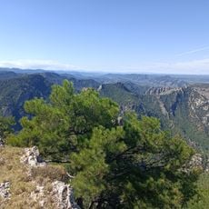
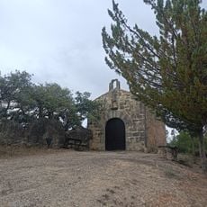
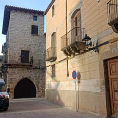
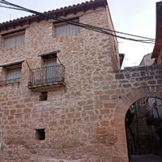
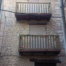
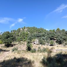
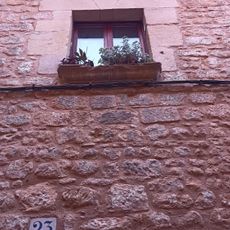
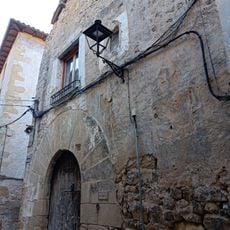
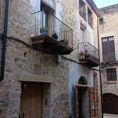
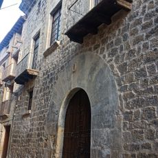
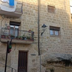
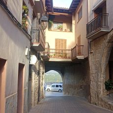
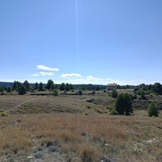
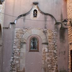
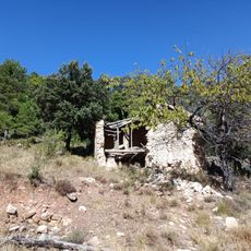
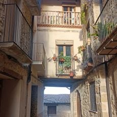
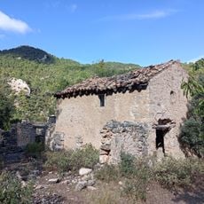
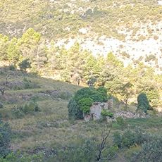
Arnes, municipality of Spain
Location: Terra Alta
Capital city: Arnes
Elevation above the sea: 506 m
Shares border with: Horta de Sant Joan, Alfara, Beceite, Cretas, Lledó
Website: http://arnes.altanet.org
GPS coordinates: 40.91073,0.26100
Latest update: March 3, 2025 01:53
Ajuntament d'Arnes
100 m
Lo Pi Ramut
7.6 km
Lo Pimpoll
7.5 km
Nucli històric d'Arnes
11 m
Església parroquial de Santa Magdalena
78 m
Santa Madrona
746 m
Mas de la Franqueta
6.2 km
Casa Balmanya
42 m
Casa Galan
154 m
Casa Gabaldà
49 m
La Miranda de Terranyes
8.7 km
Capella del Calvari
619 m
Cal Don
69 m
Can Bertran
213 m
House in carrer Bonaire
203 m
Punta del Safrà
6.6 km
Can Borrull
196 m
Casa Bosquets
126 m
Casa Sebastià
86 m
Casa Santa Pau
71 m
Antiga Presó
176 m
Cobert de Miquelet
63 m
Mas del Torrero
8.7 km
Capella de l'Hospital
130 m
Mas de Pell Negra
6.8 km
Cobert del Portalet
87 m
Mas de Josepó
6.6 km
Mas de Cases
6.6 kmReviews
Visited this place? Tap the stars to rate it and share your experience / photos with the community! Try now! You can cancel it anytime.
Discover hidden gems everywhere you go!
From secret cafés to breathtaking viewpoints, skip the crowded tourist spots and find places that match your style. Our app makes it easy with voice search, smart filtering, route optimization, and insider tips from travelers worldwide. Download now for the complete mobile experience.
A unique approach to discovering new places❞
— Le Figaro
All the places worth exploring❞
— France Info
A tailor-made excursion in just a few clicks❞
— 20 Minutes