
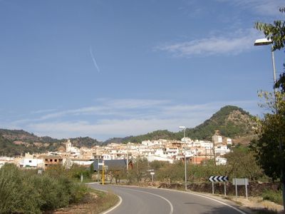
Chóvar, municipality of Spain
Location: Alto Palancia
Capital city: Chóvar
Elevation above the sea: 415 m
Part of: Mancomunidad Intermunicipal del Alto Palancia
Shares border with: Aín, Alfondeguilla, Azuébar, Eslida, Soneja
Phone: +34964651024
Website: http://chovar.es/ca
GPS coordinates: 39.85113,-0.32072
Latest update: March 12, 2025 22:58
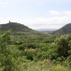
Sierra de Espadán Natural Park
3 km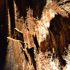
Coves de Sant Josep
6.5 km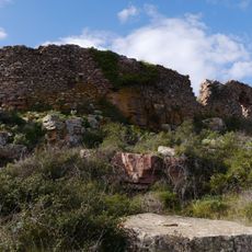
Castell de Castro
3.6 km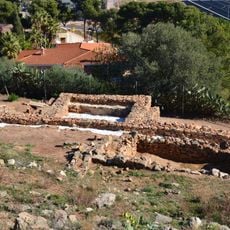
Poblat iberoromà de Sant Josep
6.6 km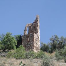
Castle of Artana
7.2 km
La Dehesa
5.5 km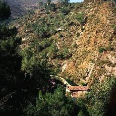
Castell de Benalí
5.1 km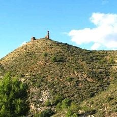
Castle of Azuébar
4.3 km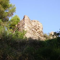
Castle of Eslida
3.1 km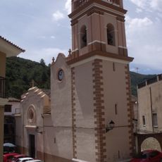
Església de Sant Bartomeu d'Alfondeguilla
4.6 km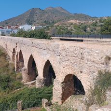
Aqueducts of San José and Alcudia
7.1 km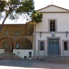
Chapel of Saint Joseph, La Vall d'Uixó
6.6 km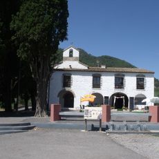
Ermita de Santa Cristina d'Artana
5.1 km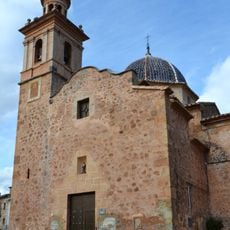
Church of San Mateo, Azuébar
4.4 km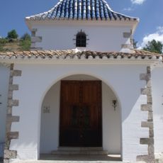
Calvario y Ermita del Calvario de Artana
7.2 km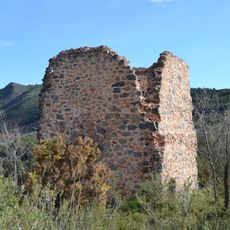
Torreta de Chóvar
902 m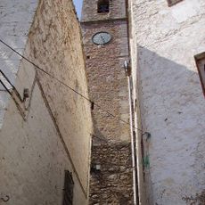
Church of the Savior
3.3 km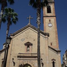
Església de Sant Joan Baptista d'Artana
7 km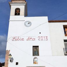
Church of Santa Ana, Chóvar
44 m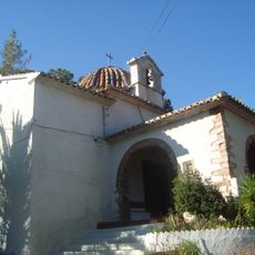
Ermita del Crist del Calvari (Eslida)
3.3 km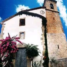
Església de Sant Miquel d'Aín
5.7 km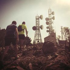
Puntal del Aljibe
2.4 km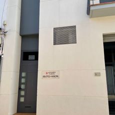
Agència de Lectura Municipal d'Artana
6.9 km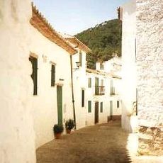
Historical center of Aín
5.7 km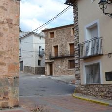
Núcleo Histórico Tradicional de Azuébar
4.5 km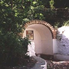
Font de San Ambrosi
5.6 km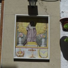
Ceramic panel of Our Lady of the Sorrows
7 km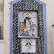
Ceramic panel of Saint Vincent Ferrer
7.1 kmReviews
Visited this place? Tap the stars to rate it and share your experience / photos with the community! Try now! You can cancel it anytime.
Discover hidden gems everywhere you go!
From secret cafés to breathtaking viewpoints, skip the crowded tourist spots and find places that match your style. Our app makes it easy with voice search, smart filtering, route optimization, and insider tips from travelers worldwide. Download now for the complete mobile experience.

A unique approach to discovering new places❞
— Le Figaro
All the places worth exploring❞
— France Info
A tailor-made excursion in just a few clicks❞
— 20 Minutes