
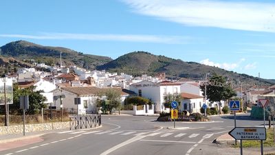
Laujar de Andarax, municipality of Spain
Location: Almería Province
Elevation above the sea: 918 m
Part of: Notarial District of Almería, Alpujarra Almeriense
Shares border with: Abrucena, Alcolea, Paterna del Río, Fiñana, Fondón, Berja, Huéneja
Website: http://laujardeandarax.es
GPS coordinates: 36.99399,-2.89683
Latest update: March 11, 2025 12:25
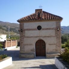
Ermita de Nuestra Señora de los Ángeles
2.6 km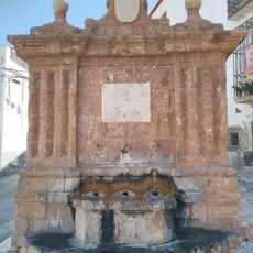
Fuente de Carlos IV
3.7 km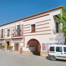
Casa consistorial de Fondón
3.7 km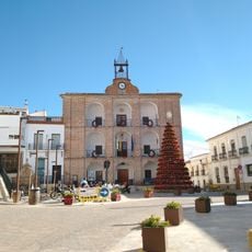
Edificio del ayuntamiento
638 m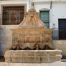
Pilar en Plaza Mayor
628 m
Alcazaba of Laujar de Andarax
857 m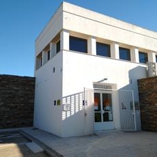
Centro de Visitantes Laujar de Andarax
718 m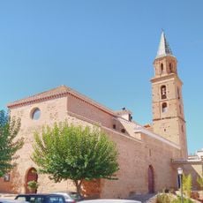
Iglesia de San Andrés
3.7 km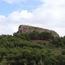
Castillo
6.1 km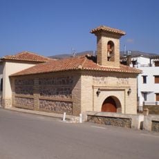
Ermita de la Virgen de las Angustias
3.4 km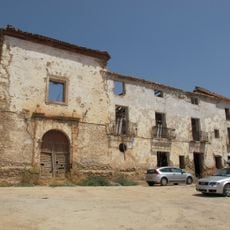
Convent of San Pascual Bailón
479 m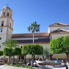
Iglesia de San Sebastián
6.1 km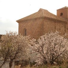
Iglesia de Nuestra Señora de la Misericordia
9.5 km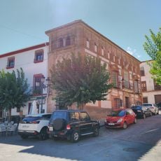
Casa de Laureano Godoy
3.7 km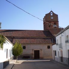
Iglesia de la Encarnación
2.1 km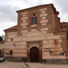
Iglesia de la Encarnación
643 m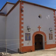
Ermita de los Remedios
5.9 km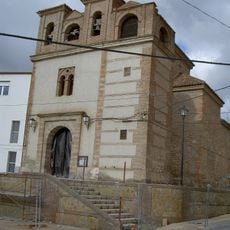
Ermita de Nuestra Señora de la Salud
60 m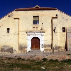
Iglesia de San Juan Bautista, Paterna del Río
5.8 km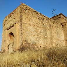
Ermita de Almócita
9.5 km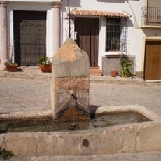
Fuente de la Placeta de las Ánimas
3.6 km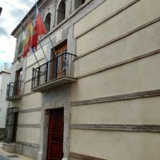
Biblioteca Pública Municipal de Laujar de Andarax - Francisco Villaespesa
369 m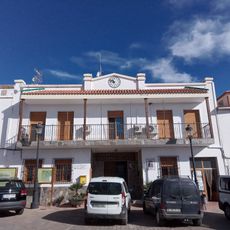
Casa consistorial de Paterna del Río
5.9 km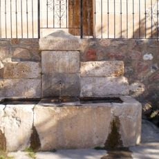
Fuente del Pábilo
3.4 km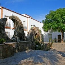
Fuente en la plaza de Almócita
9.6 km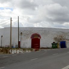
Plaza de toros de Laujar de Andarax
262 m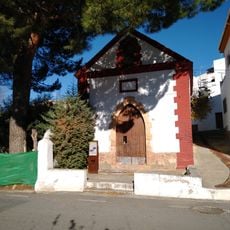
Chapel of the Blessed Souls
252 m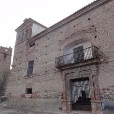
Casa del Rey Chico
2.1 kmVisited this place? Tap the stars to rate it and share your experience / photos with the community! Try now! You can cancel it anytime.
Discover hidden gems everywhere you go!
From secret cafés to breathtaking viewpoints, skip the crowded tourist spots and find places that match your style. Our app makes it easy with voice search, smart filtering, route optimization, and insider tips from travelers worldwide. Download now for the complete mobile experience.

A unique approach to discovering new places❞
— Le Figaro
All the places worth exploring❞
— France Info
A tailor-made excursion in just a few clicks❞
— 20 Minutes