Enable Location

We need your location to show you interesting places around you

Discover nearby places

Find interesting locations and hidden gems around you

Precise directions

Get accurate directions and distances to places

Your location is never shared with other users. It's only used when you tap the location button.

Samartín del Rei Aurelio

Log in to your account

Start exploring — it's free

Trusted by 62,180 travelers worldwide

Continue with Google
Continue with Apple
or

We will send you a code to connect

By continuing, you accept our Terms and Conditions and our Privacy Policy

Check your inbox

We've sent a pincode in your inbox. Please enter the code below.

Samartín del Rei Aurelio

Samartín del Rei Aurelio, Administrative division in Asturias, Spain

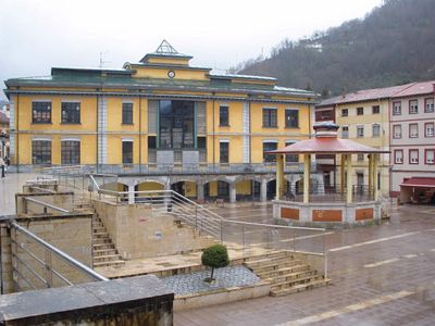
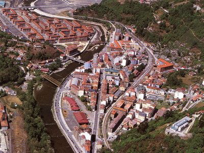
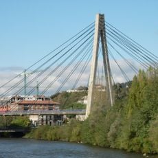
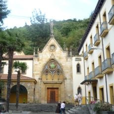
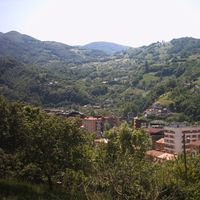
Samartín del Rei Aurelio is an administrative division in Asturias comprising three main towns—Sotrondio, El Entrego, and Blimea—plus several smaller settlements spread across approximately 56 square kilometers. The territory occupies the Nalón valley and features varying elevations with mountain landscapes surrounding it on all sides.

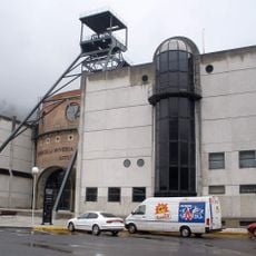
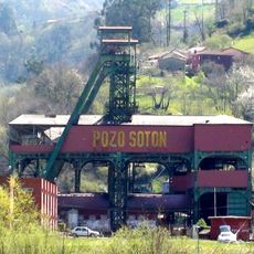
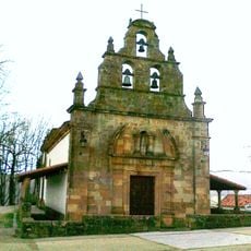
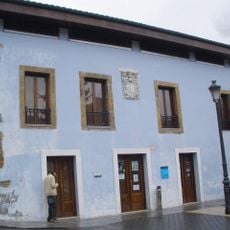
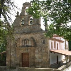
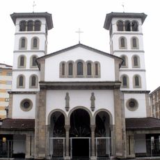
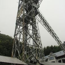
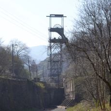
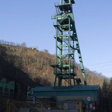
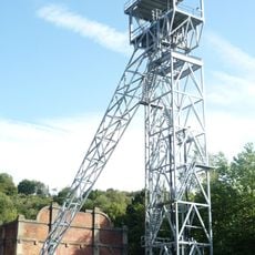
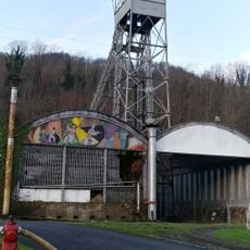
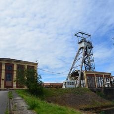
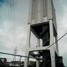
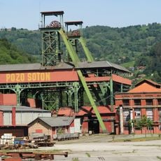
The place takes its name from King Aurelio, an 8th-century Asturian ruler whose tomb is located in the parish church of San Martín. Later, coal mining became the defining force that shaped the region's development and transformed it into an industrial center during the modern era.

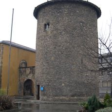
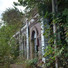
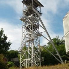
The place preserves mining heritage through several former extraction sites scattered across its three main towns. These abandoned facilities show how coal shaped the daily life and economy of local communities for generations.

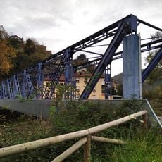
The area connects to regional roads and has regular bus services linking the three main towns with each other and neighboring areas. The varied terrain means travel between locations may take longer than expected on a map.

The territory features an elevation gradient exceeding 1,000 meters (3,280 feet), creating dramatic differences between deep valleys and higher mountain zones. This steep variation produces distinct climate and vegetation zones within a relatively compact area.

The community of curious travelers

AroundUs brings together thousands of curated places, local tips, and hidden gems, enriched daily by 60,000 contributors worldwide.

Start exploring
Location
Laviana judicial district
Capital city
Samartín del Rei Aurelio
Part of
Nalón Valley Commonwealth
Shares border with
Siero, Bimenes, Llaviana, Mieres, Langreo
Website
GPS coordinates
43.27502,-5.61378
Latest update
December 7, 2025 10:08
« Samartín del Rei Aurelio - Administrative division in Asturias, Spain » is provided by Around Us (aroundus.com). Images and texts are derived from Wikimedia project under a Creative Commons license. You are allowed to copy, distribute, and modify copies of this page, under the conditions set by the license, as long as this note is clearly visible.

Discover hidden gems everywhere you go!

From secret cafés to breathtaking viewpoints, skip the crowded tourist spots and find places that match your style. Our app makes it easy with voice search, smart filtering, route optimization, and insider tips from travelers worldwide. Download now for the complete mobile experience.

Around Us App Screenshot

A unique approach to discovering new places

Le Figaro

All the places worth exploring

France Info

A tailor-made excursion in just a few clicks

20 Minutes

Around Us
Travel Guide & Maps
Download

Send to your phone

QR Code
1

Open the camera app on your mobile.

2

Point at the QR code with your camera. A notification will appear.

3

Tap the notification to open the link.