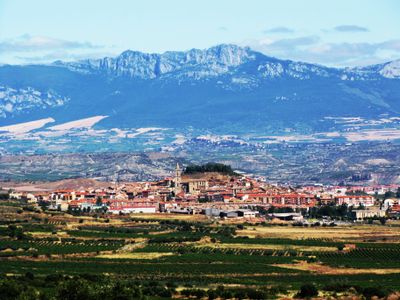
Navarrete, Municipality in La Rioja, Spain
Navarrete is a municipality situated in La Rioja, Spain, at an elevation of 1,680 feet (512 meters), covering approximately 11 square miles (28.5 square kilometers) with around 3,000 residents.
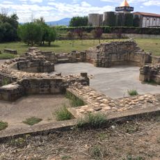
King Alfonso VIII of Castile founded Navarrete in 1195 to strengthen territorial defenses against Navarre, relocating residents from nearby villages to a fortified settlement on Tedeón hill.
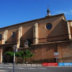
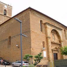
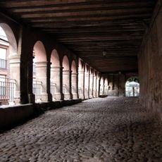
The Church of Santa María de la Asunción, built beginning in 1553, features the second tallest tower in La Rioja and houses one of Spain's largest Baroque altarpieces.
The town is accessible via A-12 and AP-68 highways, located between Logroño and Nájera along the Way of Saint James pilgrimage route through northern Spain.
Navarrete is renowned for its traditional pottery crafted from local clay deposits rich in quartz and kaolin, hosting the annual National Pottery and Ceramics Fair each July.
The community of curious travelers
AroundUs brings together thousands of curated places, local tips, and hidden gems, enriched daily by 60,000 contributors worldwide.