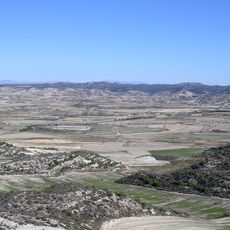
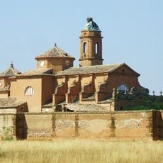
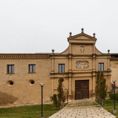
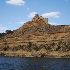
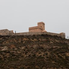
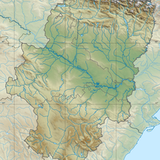
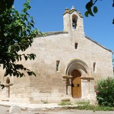
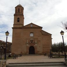
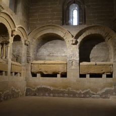
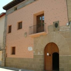
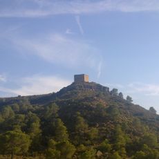
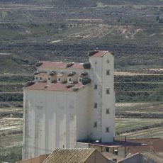
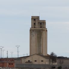
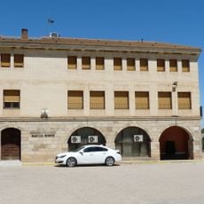
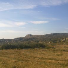
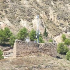
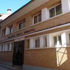
Valfarta, municipality of Spain
Location: Huesca Province
Capital city: Valfarta
Elevation above the sea: 372 m
Part of: Mancomunitat de Monegros II
Shares border with: Sena, Villanueva de Sigena, Ontiñena, Peñalba, Bujaraloz, La Almolda
Website: http://valfarta.es
GPS coordinates: 41.55889,-0.13194
Latest update: April 16, 2025 19:05
Monegros Desert
9.3 km
Reservoir of Mequinenza
29.7 km
Royal Monastery of Santa María de Sigena
19.2 km
Nuestra Señora de las Fuentes
24.1 km
Rueda Abbey
32.9 km
Ermita de la Magdalena
32.7 km
Castle of Saidí
33.2 km
Mausoleo de Chiprana
33.1 km
Church of San Salvador, Sariñena
25.9 km
Fortín de Sástago
32.7 km
Church of San Pedro
28.2 km
Serreta Negra
24.2 km
Ermita de San Valero
34 km
Acueducto La Madre
12.5 km
Torre del Tambor
31.9 km
El Mocatero
33.4 km
Town hall of Sena
18.9 km
Puente de Ballobar
28 km
Iglesia de San Andrés, Albalatillo
19.8 km
Royal Pantheon of Santa Maria de Sixena
19.2 km
Casa natal de Miguel Servet
20.2 km
Torre de Turlán
33 km
Silo of Lanaja
28.8 km
Silo of Valfarta
430 m
Biblioteca Pública Municipal de Ballobar
27.9 km
Torre de Valdemoro
34.3 km
Castell de Vallobar
27.6 km
Biblioteca Pública Municipal de Lanaja
28.8 kmReviews
Visited this place? Tap the stars to rate it and share your experience / photos with the community! Try now! You can cancel it anytime.
Discover hidden gems everywhere you go!
From secret cafés to breathtaking viewpoints, skip the crowded tourist spots and find places that match your style. Our app makes it easy with voice search, smart filtering, route optimization, and insider tips from travelers worldwide. Download now for the complete mobile experience.
A unique approach to discovering new places❞
— Le Figaro
All the places worth exploring❞
— France Info
A tailor-made excursion in just a few clicks❞
— 20 Minutes