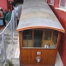
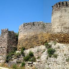
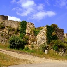
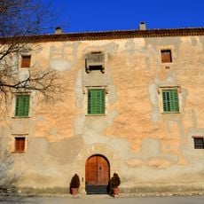
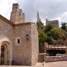
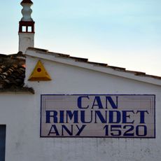
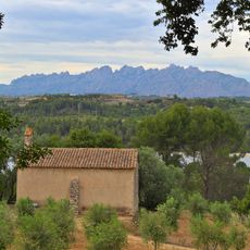
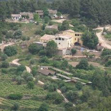
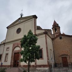
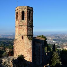
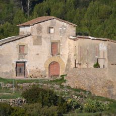
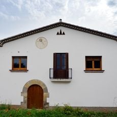
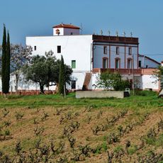
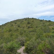
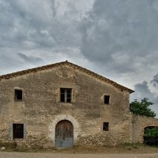
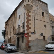
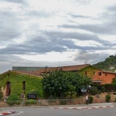
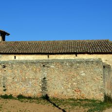
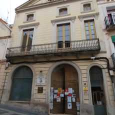
Gelida, municipality of Spain
Location: Alt Penedès
Capital city: Gelida
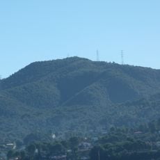
Elevation above the sea: 196 m
Part of: Mancomunitat Penedès i Garraf
Shares border with: Sant Llorenç d'Hortons, Sant Esteve Sesrovires, Castellví de Rosanes, Corbera de Llobregat, Cervelló, Subirats, Sant Sadurní d'Anoia
Website: https://gelida.cat
GPS coordinates: 41.44091,1.86469
Latest update: March 4, 2025 20:46
Funicular de Gelida
806 m
Castell de Gelida
737 m
Castell de Subirats
4.8 km
Puig d'Agulles
4 km
Torre Ramona
4.3 km
Mare de Déu de la Fontsanta
4.9 km
Avinguda Colomer
295 m
Can Torres
490 m
El Montcau
3.3 km
Can Rimundet
2.5 km
Comanda de la Joncosa
1.4 km
Can Ginebreda
2.1 km
Sant Pere de Gelida
93 m
Sant Pere del Castell de Gelida
602 m
Ca n'Oller de la Muntanya
2 km
Can Canals (Corbera de Llobregat)
3.2 km
Torre de l'Albet
1.2 km
Convent de Miralles
2.4 km
Can Ros
5.3 km
Can Pasqual (Gelida)
735 m
Can Mata d'Abelló
2.8 km
Roc de Forellac
3.5 km
Can Rossell de la Llena
3.2 km
Casa del Senyor
130 m
Casa Vallribera Mir
218 m
Can Panyella (Gelida)
580 m
Sant Joan Sesrovires
4.4 km
Centre Cultural i Recreatiu
154 mReviews
Visited this place? Tap the stars to rate it and share your experience / photos with the community! Try now! You can cancel it anytime.
Discover hidden gems everywhere you go!
From secret cafés to breathtaking viewpoints, skip the crowded tourist spots and find places that match your style. Our app makes it easy with voice search, smart filtering, route optimization, and insider tips from travelers worldwide. Download now for the complete mobile experience.
A unique approach to discovering new places❞
— Le Figaro
All the places worth exploring❞
— France Info
A tailor-made excursion in just a few clicks❞
— 20 Minutes