Puig d'Agulles, Mountain summit in the Serra d'Ordal, Spain
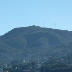
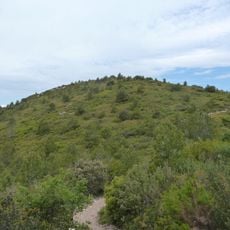
Puig d'Agulles is a 653-metre summit in the Serra d'Ordal, on the boundary of Gelida (Alt Penedès) and Cervelló and Corbera de Llobregat (Baix Llobregat). The top holds a geodesic vertex (reference 282125001), a fire-watch hut in very poor condition, and the AEMET weather radar installed in 1996.
The summit marks the meeting point of Gelida, Cervelló and Corbera de Llobregat, and its 653-metre height makes it the highest point of the Serra d'Ordal. A geodesic vertex, reference 282125001, is installed at the top. The weather radar of the former Instituto Nacional de Meteorología was inaugurated here in 1996; poor cooperation with the Servei Meteorològic de Catalunya later required a second radar at Puig Bernat.
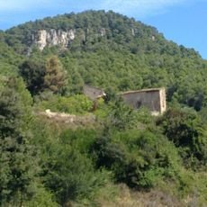
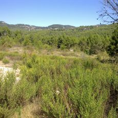
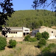
The name Agulles refers to the needle-like rock forms of the Serra d'Ordal. The summit is one of the 100 cims listed by the Federació d'Entitats Excursionistes de Catalunya, so hikers often come to register the peak. A fire-watch hut stands near the top in poor condition, and part of the hill is being reforested under the Arba-Sistema Litoral project to restore native woodland.
The summit is accessible by hiking routes starting from nearby towns like Corbera de Llobregat and Gélida. Paths connect through the Safari road area, making it reachable for visitors with moderate fitness levels.
The weather radar on the summit was inaugurated in 1996 by the Instituto Nacional de Meteorología, today AEMET. Poor coordination between AEMET and the Servei Meteorològic de Catalunya later required a second radar at nearby Puig Bernat. The summit also holds a geodesic vertex, reference 282125001, and a fire-watch hut in very poor condition.
The community of curious travelers
AroundUs brings together thousands of curated places, local tips, and hidden gems, enriched daily by 94,023 contributors worldwide.