
Salduero, municipality of Spain
Location: Pinares Comarca
Elevation above the sea: 1,103 m
Shares border with: Covaleda, Vinuesa, Molinos de Duero
Website: http://salduero.es
GPS coordinates: 41.89000,-2.79917
Latest update: March 11, 2025 13:04
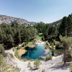
La Fuentona natural monument
18.1 km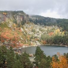
Laguna Negra and Circos Glaciares de Urbión Natural Park
12.8 km
Sierra de Urbión
14.3 km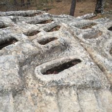
Yacimiento arqueológico de Cuyacabras
19.8 km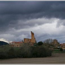
Castillo de Hinojosa de la Sierra
16.6 km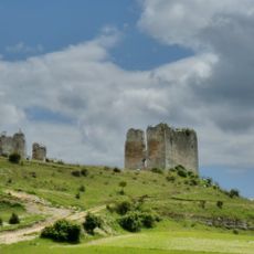
Castillo de Cabrejas del Pinar
11.4 km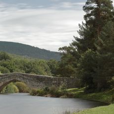
Puente de Soria
7 km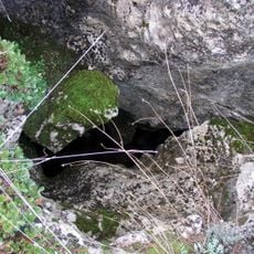
Sima de los Simancos
17.4 km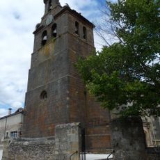
Iglesia de San Juan Bautista, Abejar
9.3 km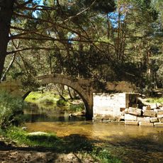
Bridge of Santo Domingo
11.5 km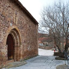
Hermitage of Saint Mammes, Montenegro de Cameros
22.5 km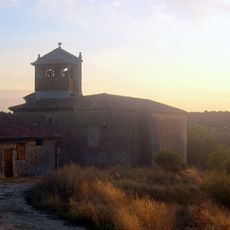
Historic Site of Golmayo
17.6 km
Torre de Abejar
9.1 km
Iglesia de la Natividad, Vadillo
20.8 km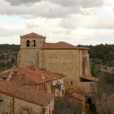
Church of Santa María, Calatañazor
21.3 km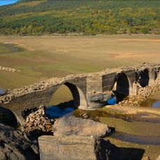
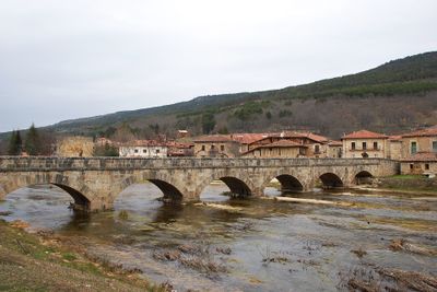
Puente romano de Vinuesa
3.4 km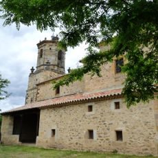
Iglesia de San Pedro Apóstol, Villaverde del Monte
13.7 km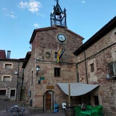
Casa consistorial de Viniegra de Arriba
23 km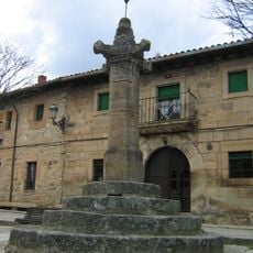
Rollo de Vinuesa
3.7 km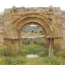
Church of San Juan, Calatañazor
21.1 km
Ermita de La Soledad
21.1 km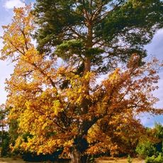
Pine-oak of Canicosa
20.7 km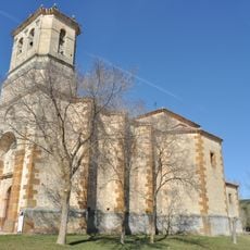
Ermita de la Blanca, Cabrejas del Pinar
11.3 km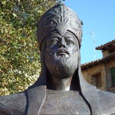
Bust of Almanzor, Calatañazor
21.3 km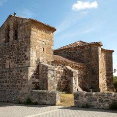
Church of Nuestra Señora del Rosario, Toledillo
20.3 km
Saint Blas church, Villaciervitos
20 km
Potro de herrar, Calatañazor
21.3 km
Church of San Juan, Salduero
34 mReviews
Visited this place? Tap the stars to rate it and share your experience / photos with the community! Try now! You can cancel it anytime.
Discover hidden gems everywhere you go!
From secret cafés to breathtaking viewpoints, skip the crowded tourist spots and find places that match your style. Our app makes it easy with voice search, smart filtering, route optimization, and insider tips from travelers worldwide. Download now for the complete mobile experience.

A unique approach to discovering new places❞
— Le Figaro
All the places worth exploring❞
— France Info
A tailor-made excursion in just a few clicks❞
— 20 Minutes