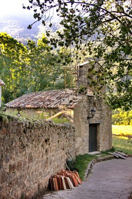
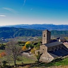
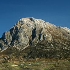
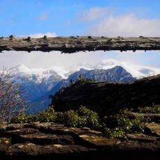
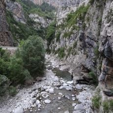
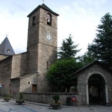
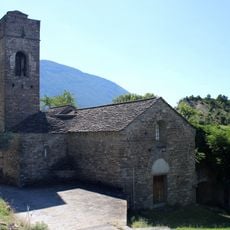
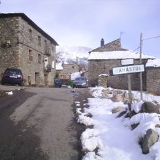
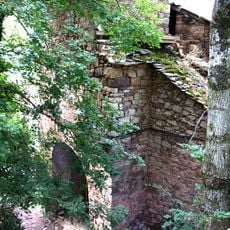
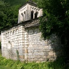
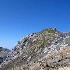
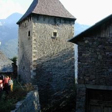
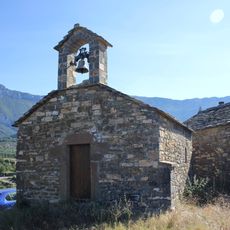
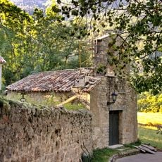
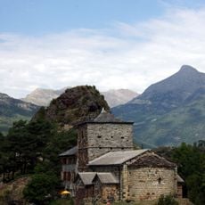
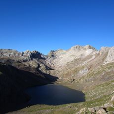
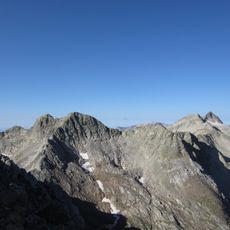
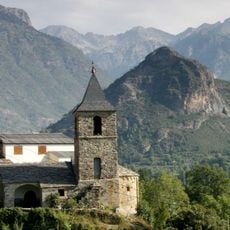
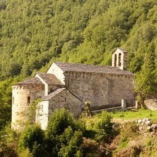
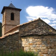
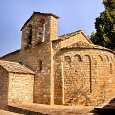
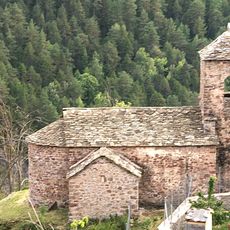
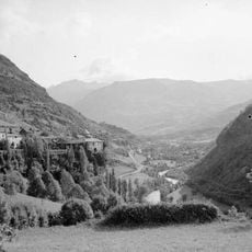
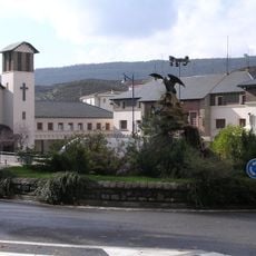
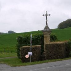
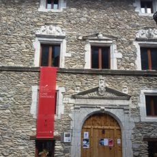
Seira, municipality of Spain
Location: Huesca Province
Capital city: Seira
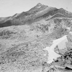
Elevation above the sea: 810 m
Shares border with: Valle de Bardají, Campo, Foradada del Toscar, La Fueva, Plan, Aragon, San Juan de Plan, Chía, Castejón de Sos, Bisaurri
Website: http://seira.es
GPS coordinates: 42.48028,0.43000
Latest update: March 16, 2025 22:42
Real Monasterio de San Victorián
17.3 km
El Turbón
9.4 km
Cotiella massif
9.7 km
Congosto de Ventamillo
2.3 km
Saint Mary Church (Benasque)
15.9 km
Iglesia de San Juan de Toledo de Lanata
12.3 km
Ramastué
8.7 km
Espluga
11 km
Navarri
11.4 km
Monasterio de los Santos Justo y Pastor de Urmella
9 km
Ermita de la Virgen de Gracia
4.5 km
Dent Royo
17.4 km
Torre de Casa Tardán
14.6 km
Kapelle Atiart
13.4 km
San Miguel de Abi
1 km
Iglesia de Sandrés
7.7 km
Tucón Royo o Pavots
17.9 km
Forqueta SE
16.8 km
Forqueta
16.8 km
Iglesia de Santa María
8 km
Church of Sant Pere de Vilanova d'Éssera
7.8 km
Sant Jaume de Gavàs
5 km
Church of San Saturnino (Bardají)
7 km
Sant Esteve de Renanué
7.6 km
Santuario de Guayente
11.8 km
Barrio del Puente de Sabiñanigo
6.9 km
Croix de chemin
8.8 km
Palacio de los Condes de Ribagorza
15.9 kmReviews
Visited this place? Tap the stars to rate it and share your experience / photos with the community! Try now! You can cancel it anytime.
Discover hidden gems everywhere you go!
From secret cafés to breathtaking viewpoints, skip the crowded tourist spots and find places that match your style. Our app makes it easy with voice search, smart filtering, route optimization, and insider tips from travelers worldwide. Download now for the complete mobile experience.
A unique approach to discovering new places❞
— Le Figaro
All the places worth exploring❞
— France Info
A tailor-made excursion in just a few clicks❞
— 20 Minutes