
Lerga, municipality of Spain
Location: Navarre
Location: Merindade of Sangüesa
Location: Comarca de Sangüesa
Elevation above the sea: 618 m
Part of: Mancomunitat de Sangüesa, Mixed Zone of Navarre
Shares border with: Ujué/Uxue, San Martín de Unx, Leoz, Eslava
GPS coordinates: 42.56626,-1.49966
Latest update: April 1, 2025 05:25
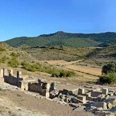
Santa Criz
4.6 km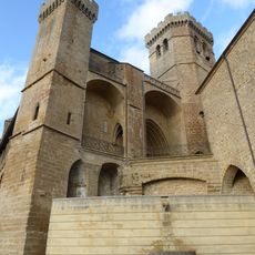
Church of Santa María, Ujué
6.7 km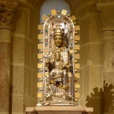
Santa María de Ujué
7.1 km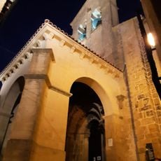
Church of San Martin de Tours, San Martín de Unx
6.8 km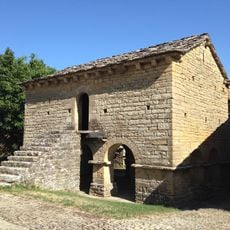
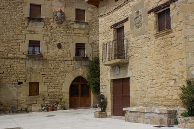
Edificio Civil
8.8 km
Ermita de Santa Bárbara (Lerga)
407 m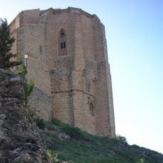
Iglesia de San Salvador de Gallipienzo
8.5 km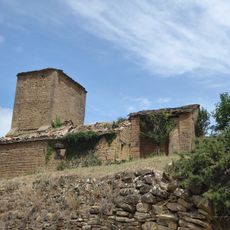
Iglesia de San Bartolomé
8.5 km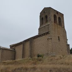
Iglesia Parroquial de la Asunción
8 km
San Martin Tourskoa eliza
8.8 km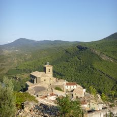
San Pedro eliza
8.8 km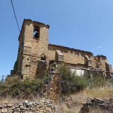
Iglesia de San Andrés
8.3 km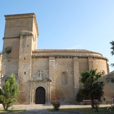
San Martin eliza
95 m
Jasokundeko Andre Mariaren eliza
3.9 km
San Esteban eliza
6.1 km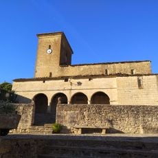
Church of Leoz
9 km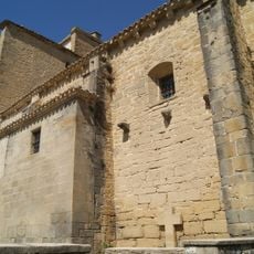
Jasokundeko Andre Mariaren eliza
8.8 km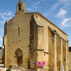
Andre Maria eliza
6.9 km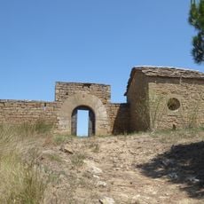
San Bartolome eliza
9.3 km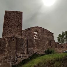
Gurutze Sainduaren eliza
2.7 km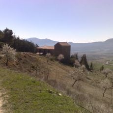
San Andres eliza
6.5 km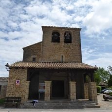
San Esteban eliza
8.9 km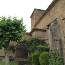
San Joan eliza
8.4 km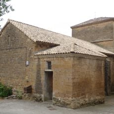
Santa Katalina eliza
6.1 km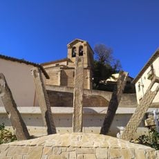
San Migel eliza
3.4 km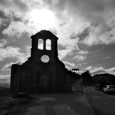
San Migel eliza
6.9 km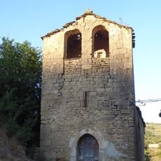
San Klemente eliza
7.6 km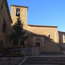
Church of Orísoain
9.4 kmVisited this place? Tap the stars to rate it and share your experience / photos with the community! Try now! You can cancel it anytime.
Discover hidden gems everywhere you go!
From secret cafés to breathtaking viewpoints, skip the crowded tourist spots and find places that match your style. Our app makes it easy with voice search, smart filtering, route optimization, and insider tips from travelers worldwide. Download now for the complete mobile experience.

A unique approach to discovering new places❞
— Le Figaro
All the places worth exploring❞
— France Info
A tailor-made excursion in just a few clicks❞
— 20 Minutes