
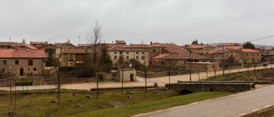
Narros, municipality of Spain
Location: Soria Province
Elevation above the sea: 1,113 m
Shares border with: Almajano, Cirujales del Río, La Losilla, Suellacabras, Arancón, Aldehuela de Periáñez
GPS coordinates: 41.84861,-2.29444
Latest update: March 2, 2025 23:09
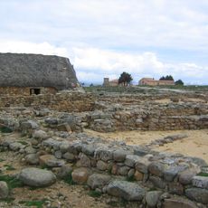
Numantia
13.2 km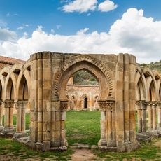
Monastery of San Juan de Duero
16 km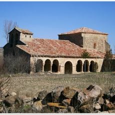
Church of the Inmaculada Concepción, Omeñaca
10.4 km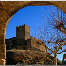
Magaña Castle
12.6 km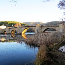
Puente de Piedra
16.1 km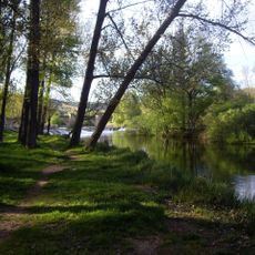
Márgenes del Duero (Soria)
16.1 km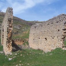
Church of San Ginés, Soria
16 km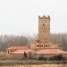
Torre-palacio de Aldealseñor
3.9 km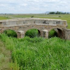
Bridge of Masegoso
15.4 km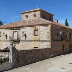
Casa de la Media Naranja
105 m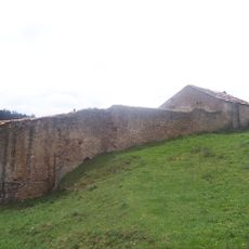
Iglesia de San Agustín el Viejo (Soria)
16.1 km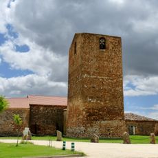
Iglesia de San Juan Bautista
10.4 km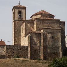
Church of San Millán, Oncala
13.6 km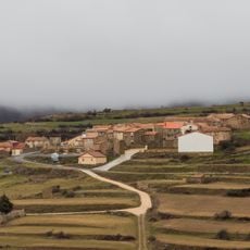
Iglesia de Nuestra Señora del Collado (Valtajeros)
11.6 km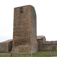
San Juan Bautista (Aldealpozo)
10.4 km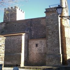
Iglesia de Nuestra Señora de la Asunción
16.1 km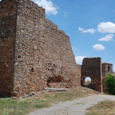
Castle of Peroniel
16.3 km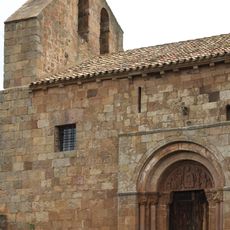
San Juan Bautista
11 km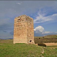
Tower La Pica, Tajahuerce
12.5 km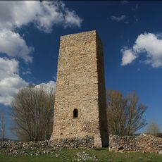
Tower of Masegoso
15.8 km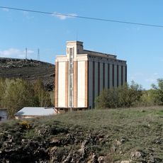
Silo de Soria
15.7 km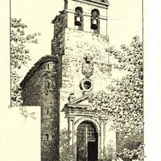
Iglesia de Santo Tomás Apóstol, Chavaler
14.7 km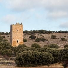
Tower of Castellanos
12.7 km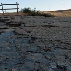
Fossil site of Las Adoberas
16.2 km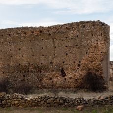
Castle of Villar del Campo
13.5 km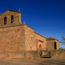
Church of Nuestra Señora de las Mercedes
13.8 km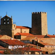
Tower of Trévago
16.2 km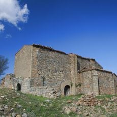
Church of San Esteban, Masegoso
16 kmVisited this place? Tap the stars to rate it and share your experience / photos with the community! Try now! You can cancel it anytime.
Discover hidden gems everywhere you go!
From secret cafés to breathtaking viewpoints, skip the crowded tourist spots and find places that match your style. Our app makes it easy with voice search, smart filtering, route optimization, and insider tips from travelers worldwide. Download now for the complete mobile experience.

A unique approach to discovering new places❞
— Le Figaro
All the places worth exploring❞
— France Info
A tailor-made excursion in just a few clicks❞
— 20 Minutes