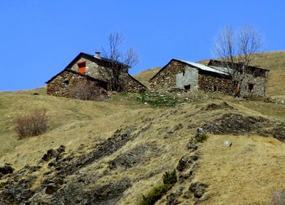
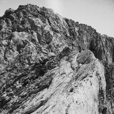
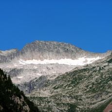
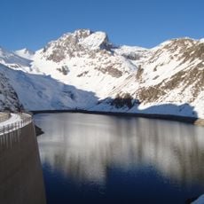
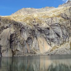
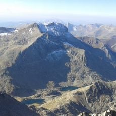
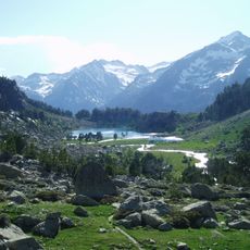
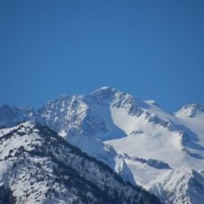
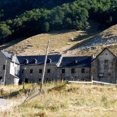
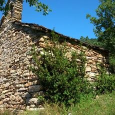
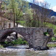
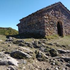
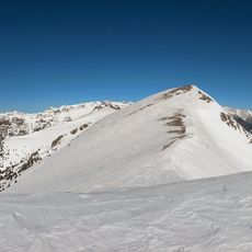
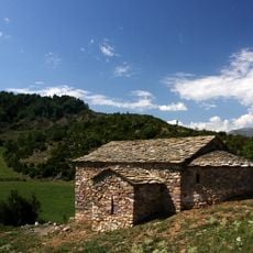
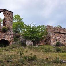
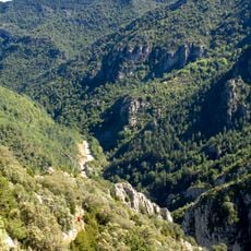
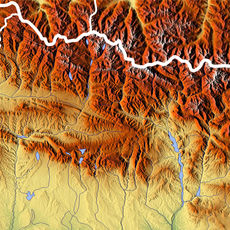
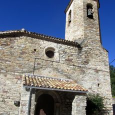
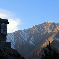
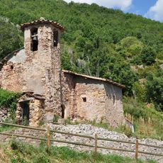
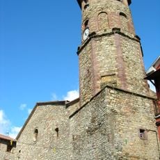
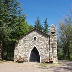
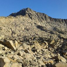
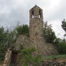
Montanuy, municipality of Spain
Location: Ribagorza
Capital city: Montanui
Elevation above the sea: 1,205 m
Part of: La Franja
Shares border with: El Pont de Suert, Vielha e Mijaran, Vilaller, Benasque, Bonansa, Laspaúles, Castejón de Sos
Website: https://montanuy.es
GPS coordinates: 42.46667,0.69583
Latest update: May 1, 2025 01:15
GR 11
14.9 km
Tuca de Vallibierna
14.6 km
Tuc de Mulleres
18.1 km
Pantà de Llauset
13 km
Pico de Russell
17 km
Tuca de Culebres
14.6 km
Capçalera de la Noguera Ribagorçana
18.9 km
Margalida
17.7 km
Hospital de Sant Nicolau dels Pontells
18.7 km
Sant Salvador de Casós
3.9 km
Old Bridge of Vilaller
2 km
Ermita de San Aventín
4.8 km
Gelada
9 km
Punta Bretxa de Tempestades
18.1 km
Hermitage of Saint Roch
4.5 km
Santa Maria de Sarroqueta
3.8 km
Congosto de Obarra
8 km
Punta Russell Oriental
16.8 km
Sant Martí de Llesp
5.3 km
Espatlla d'Aneto
18.2 km
Pico de Tempestades
18 km
Tossal de les Roies de Cardet
8.1 km
Sant Esteve d'Igüerri
7.2 km
Sant Climent de Vilaller
2 km
Santuari de la Mare de Déu de Riupedrós
2.5 km
Agulla S de Russell
16.6 km
Sant Esteve de Castilló de Tor
5.3 km
Sant Mamés de Vilaller
2.7 kmReviews
Visited this place? Tap the stars to rate it and share your experience / photos with the community! Try now! You can cancel it anytime.
Discover hidden gems everywhere you go!
From secret cafés to breathtaking viewpoints, skip the crowded tourist spots and find places that match your style. Our app makes it easy with voice search, smart filtering, route optimization, and insider tips from travelers worldwide. Download now for the complete mobile experience.
A unique approach to discovering new places❞
— Le Figaro
All the places worth exploring❞
— France Info
A tailor-made excursion in just a few clicks❞
— 20 Minutes