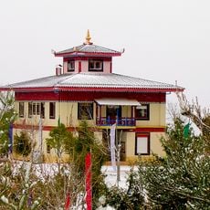
Ribagorza, Administrative division in Huesca Province, Spain.
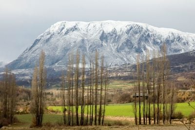
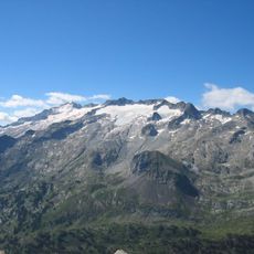
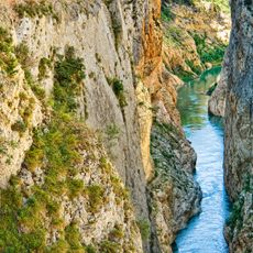
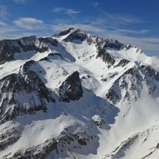
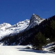
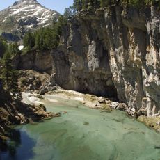
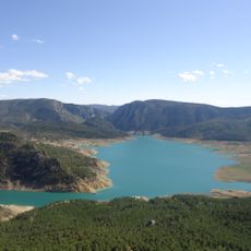
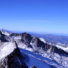
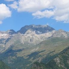
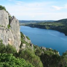
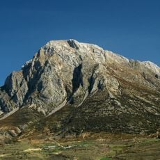
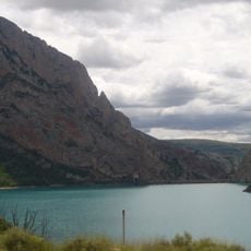
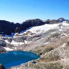
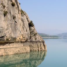
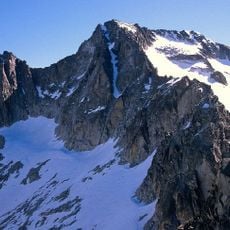
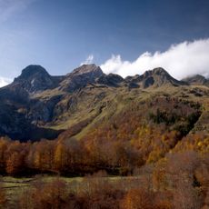
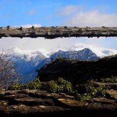
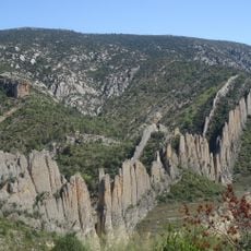
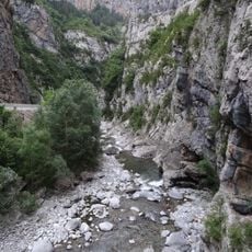
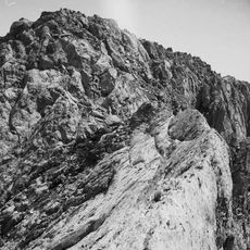
Ribagorza is an administrative comarca in northeastern Huesca Province, located in the eastern Pyrenees with mountain landscapes, valleys, and river systems. The territory is bordered by France to the north and Catalan municipalities to the east, with Aneto peak standing as one of the highest summits in the range.
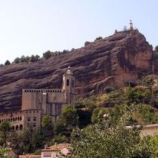
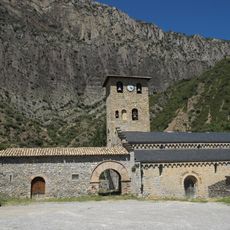
The region emerged as an independent county in the early medieval period and maintained self-governance for several centuries before being integrated into larger political entities. Its absorption into the Kingdom of Navarre and subsequently the Crown of Aragon established the administrative patterns that shaped its later development.
The region maintains its linguistic diversity today with the Ribagorçan dialect spoken in the west and Catalan variations in the eastern municipalities near the Catalan border. This linguistic richness shows in the daily life of residents and in place names that reflect both traditions.
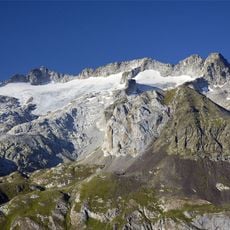
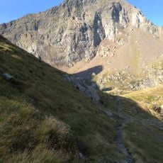
The area is crisscrossed by hiking paths through mountain landscapes leading to notable peaks at various difficulty levels. The towns of Graus and Benasque serve as central bases for lodging and supplies, with larger shops and dining options available in these settlements.
The territory ranks among Spain's most sparsely populated areas, meaning large sections remain largely untouched by intensive development and tourism. This low population density has helped preserve wild habitats and original mountain landscapes across the region.
The community of curious travelers
AroundUs brings together thousands of curated places, local tips, and hidden gems, enriched daily by 60,000 contributors worldwide.