Perdiguero, Mountain summit at French-Spanish border in Haute-Garonne, France
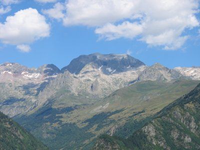
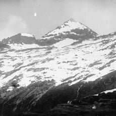
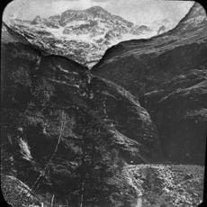
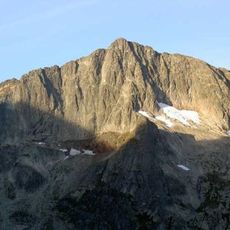
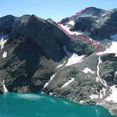
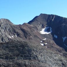
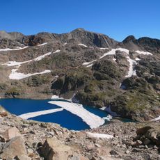
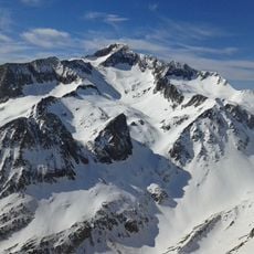
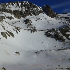
Perdiguero is a mountain summit on the border between France and Spain in the Pyrenees, separating the Haute-Garonne department from the Benasque Valley. The peak stands at 3,222 meters (10,571 feet) and offers open views over both sides of the range.
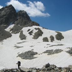
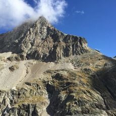
The first recorded ascent of the mountain took place in 1817, carried out by Friedrich Parrot and Pierre Barrau. The routes they identified remain the basis for the paths that climbers follow today.
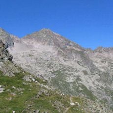
The name Perdiguero is said to come from rock patterns on the slopes that reminded local shepherds of partridges, the word "perdiz" in Spanish. This kind of naming was common in mountain communities, where people read the land through the lens of their daily work and animals.
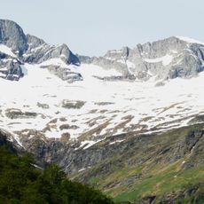
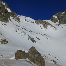
The French approach starts from Granges d'Astau near Bagnères-de-Luchon, while the Spanish side is reached through the Benasque Valley. The best window for climbing runs from June to September, and solid mountain experience is essential before setting out.
Perdiguero is the highest point in the Haute-Garonne department, standing above neighboring peaks such as Pointe de Literole. This distinction is easy to overlook, since most attention in the range tends to go to summits on the Spanish side or further west.
The community of curious travelers
AroundUs brings together thousands of curated places, local tips, and hidden gems, enriched daily by 60,000 contributors worldwide.