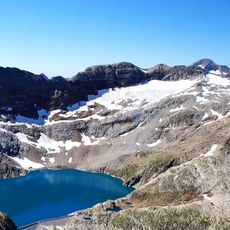
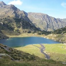
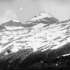
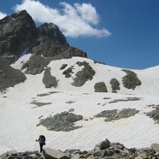
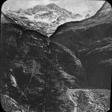
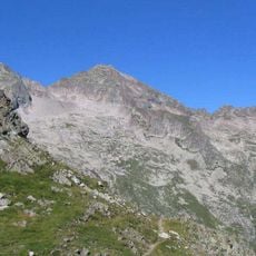
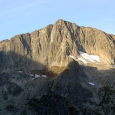
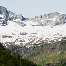
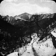
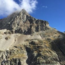
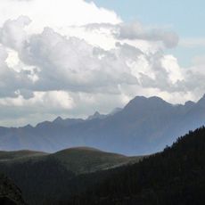
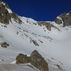
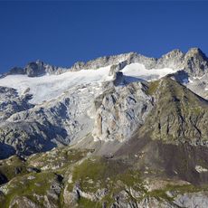
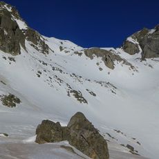
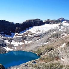
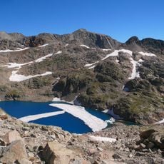
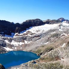
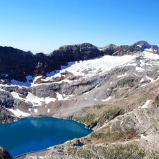
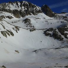
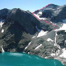
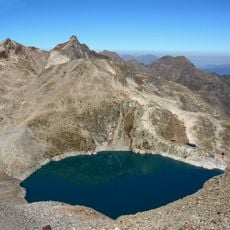
Tusse de Remuñe, Mountain summit in Benasque, Spain and Haute-Garonne, France.
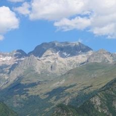
Tusse de Remuñe is a mountain summit in the Pyrenees rising to 3,041 meters at the border between Spain and France. The peak features steep slopes and diverse terrain that span both sides of the frontier.
The sources record no historical events, first ascents or dated documents for this peak; its documented history is limited to its naming and measurement. The name Tusse de Remuñe appears in Catalan and the variant Tuca d'el Cabo d'els Arenals in Aragonese, while Spanish uses Tusse de Remuñe. Its height is given as 3,038 m in the Aragonese article and 3,041 m in the Catalan one, with a prominence of 29 m in both.
The summit sits on the language border of the Pyrenees: Aragonese sources call it Tuca d'el Cabo d'els Arenals, Catalan sources Tusse de Remunye, and Spanish Tusse de Remuñe. The peak rises above the head of the Vall de Lliterola in the Perdiguero massif, a name walkers see on both the Spanish and French sides.
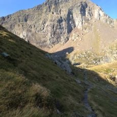
The climb starts at the Llanos del Hospital parking area in Benasque and follows a route of roughly 16.5 kilometers with about 1,320 meters of elevation gain. The terrain is demanding, so good fitness and mountain experience are needed, especially on steeper sections.
The summit lies at the head of the Vall de Lliterola in the Perdiguero massif, and its 29-metre prominence is small enough that it is climbed as part of the surrounding peaks rather than as a separate objective. The border runs across the top, so a short walk takes you from Aragon into the Hautes-Pyrénées.
The community of curious travelers
AroundUs brings together thousands of curated places, local tips, and hidden gems, enriched daily by 94,658 contributors worldwide.