Seil Dera Baquo, Mountain peak at 3110 meters in Hautes-Pyrénées, France.
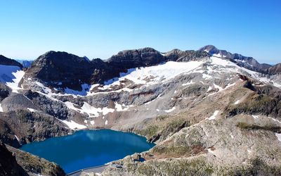
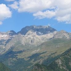
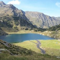
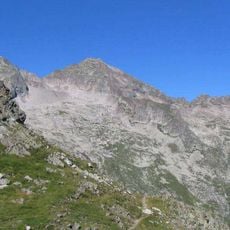
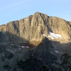
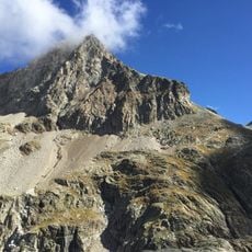
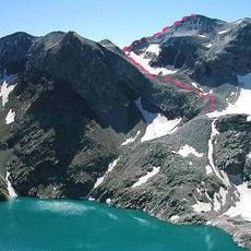
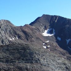
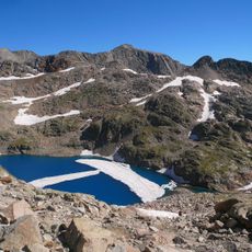
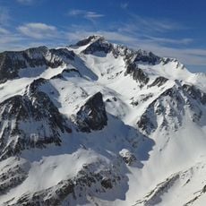
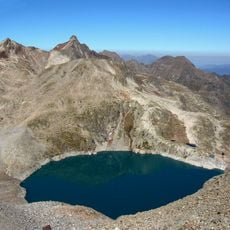
Seil Dera Baquo is a mountain peak in the French Pyrenees standing at approximately 3110 meters. It features a glacier-covered northern face and a rocky southern side leading to the main summit, with the peak marking the border between France and Spain.
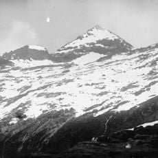
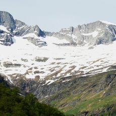
The glacier reached its greatest extent during the 19th century and was the largest in the French Pyrenees at that time. Since then it has steadily shrunk due to climate change, becoming a visible record of transformation in the high mountain region.
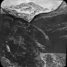
The mountain served as a passage between French and Spanish shepherds who moved their flocks across the glacier seasonally. These historic routes still shape how local communities view the shared mountain landscape today.
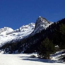
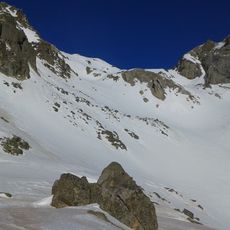
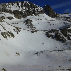
The ascent requires mountaineering gear such as crampons and ice axes, with most routes starting from the Portillon refuge. Visitors should be experienced with alpine terrain and comfortable with rope work when crossing glaciers.
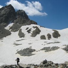
The peak contains three distinct glacier sections, each retreating at different rates due to local temperature patterns. These separate ice masses respond differently to climate shifts, allowing researchers to observe various aspects of how mountain ice responds to environmental changes.
The community of curious travelers
AroundUs brings together thousands of curated places, local tips, and hidden gems, enriched daily by 60,000 contributors worldwide.