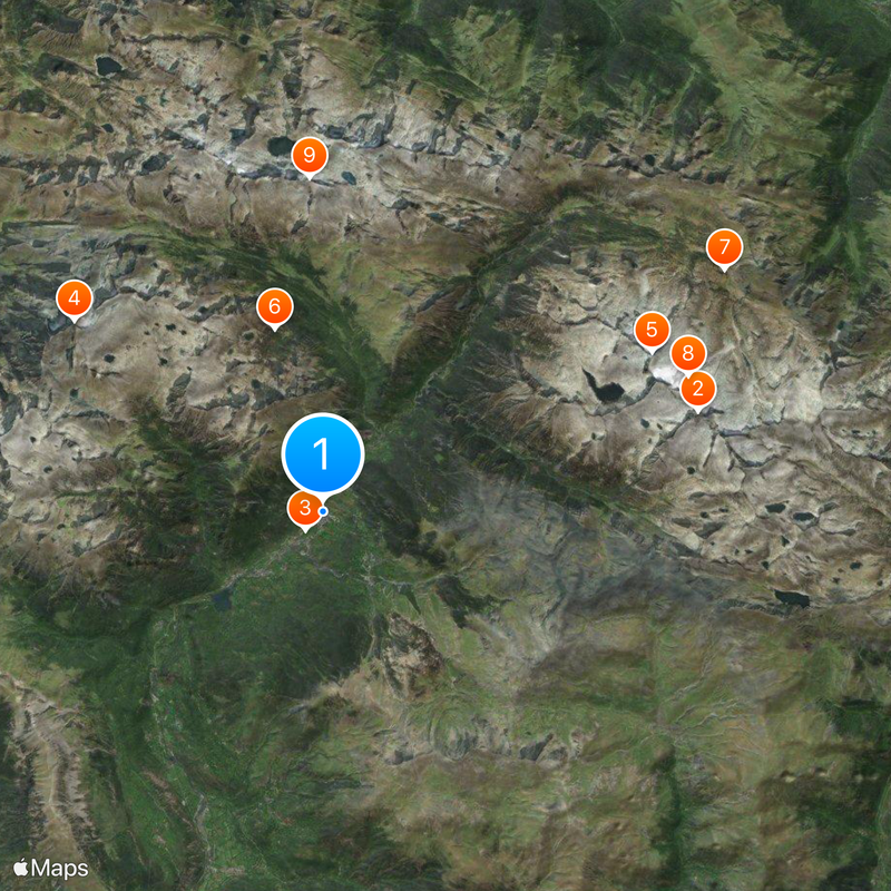
Benasque, Mountain municipality in Ribagorza, Spain
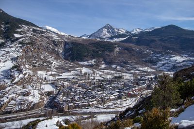
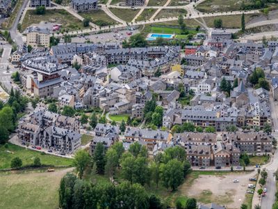
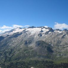
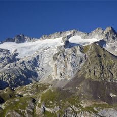
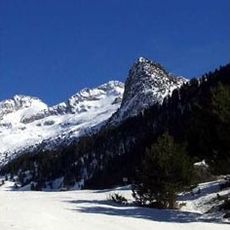
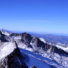
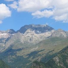
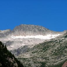
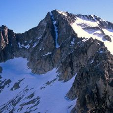
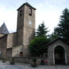
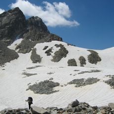
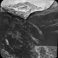
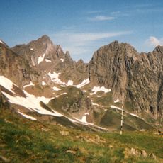
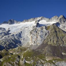
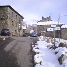
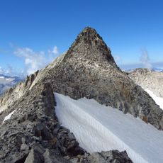
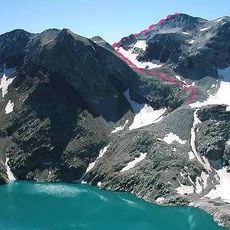
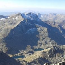
Benasque is a mountain municipality in Huesca Province set at about 1,138 meters in a valley surrounded by Pyrenees peaks, including Aneto. The settlement spreads along a mountain valley with narrow streets and traditional stone buildings nestled into steep hillsides.
The town served as a historical base for mountain expeditions and held military importance during the Spanish Civil War. The Renaissance-style Palace of the Counts of Ribagorza stands as evidence of the region's aristocratic past.
Residents speak patués, a local dialect blending Aragonese, Catalan, and Gascon influences, which people celebrate through annual writing competitions. This language reflects the area's position between different cultural regions and remains an important part of daily life here.
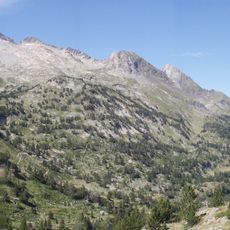
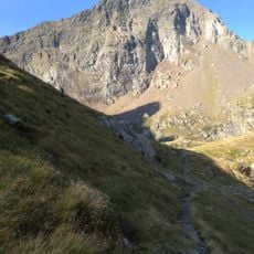
Visitors can reach the town easily by regular bus service from Huesca, with the journey taking roughly two hours. The town itself is walkable and serves as a starting point for hikes into the surrounding mountains.
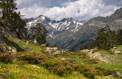
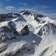
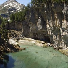
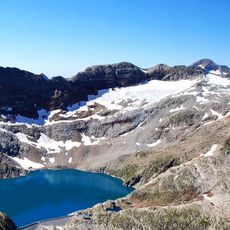
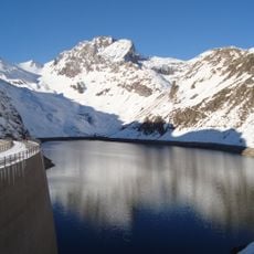
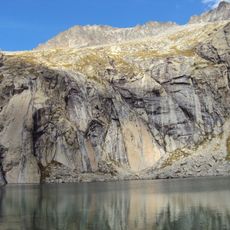
A striking phenomenon called Forau de Aigualluts causes water from the Aneto glacier to vanish into a karstic well, which then flows underground toward the Garonne River. This hidden link between two water systems is a rare geological feature of the area.
The community of curious travelers
AroundUs brings together thousands of curated places, local tips, and hidden gems, enriched daily by 60,000 contributors worldwide.