Pic Royo, Mountain summit in Benasque, Spain and Haute-Garonne, France.
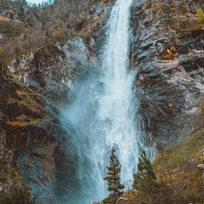
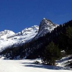
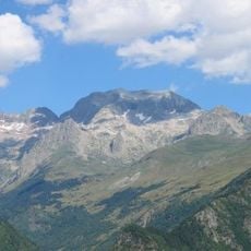
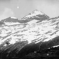
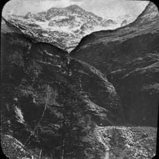
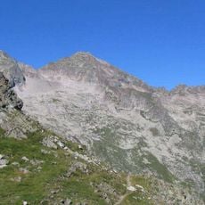
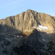
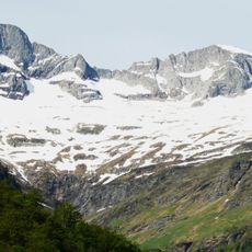
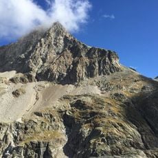
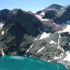
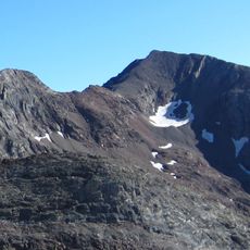
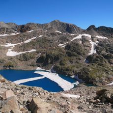
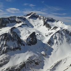
Pic Royo rises to 3,121 meters and forms a natural border between France and Spain within the Posets-Maladetas Natural Park. The summit sits on a massive ridge with steep flanks and glaciated sections on its slopes.
The mountain formed as part of the Pyrenean range during alpine mountain building millions of years ago. It served as a boundary marker in treaties that established the French-Spanish frontier and continues in this role today.
The peak carries different names across regional languages: Pic Royo in French, Tuca Roya de Lliterola in Aragonese, and Royo Tontorra in Basque. This linguistic diversity reflects the cultural boundary that the mountain straddles.
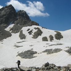
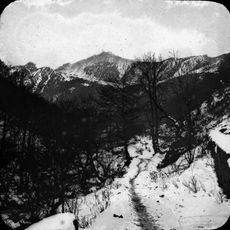
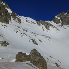
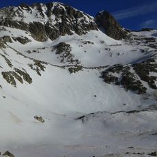
The route to the summit starts from Remuñe valley in Benasque and requires mountain gear plus advanced climbing skills. Winter ascents demand additional technical skills on snow and ice equipment, so starting early helps ensure daylight for the descent.
From the peak you can look directly at the Las Maladetas massif and Perdiguero peak, making this a natural vantage point for viewing two major Pyrenean formations. Few visitors take advantage of this straight sightline to photograph both distinctive peaks at once.
The community of curious travelers
AroundUs brings together thousands of curated places, local tips, and hidden gems, enriched daily by 60,000 contributors worldwide.