Pic de Céciré, Mountain summit in Haute-Garonne, France.
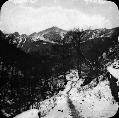
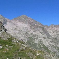
Pic de Ceciré is a 2,403 meter summit in the Pyrenees with grass-covered slopes and a horseshoe-shaped northeastern face that opens into a small cirque. The landscape features gentle hillsides mixed with rocky formations that reflect the typical character of this mountain region.
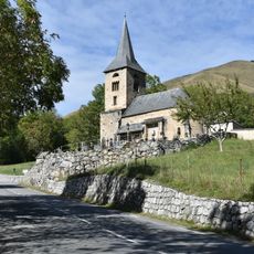
Local shepherds used the mountain as a reference point when guiding their flocks through Pyrenean passages between France and Spain. This tradition of herding made the location an important part of the region's old trading routes and movement patterns.
The summit sits along the GR10, a major hiking path running across the entire Pyrenees, connecting this location to a large network of walkers and travelers. Many people use it as a landmark during their multi-day journeys through the mountain range.
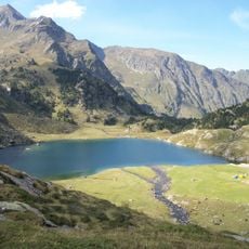
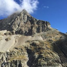
Access from Superbagnères ski resort is possible with about 600 meters of elevation gain on marked trails suitable for experienced hikers. Those heading to the summit should have mountaineering experience and be prepared for changing weather conditions.
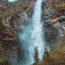
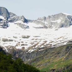
From the summit, visitors can see two contrasting geological formations: the Cirque de Crabioules and Cirque d'Espingo, showing the geological diversity of the Pyrenees. These two valleys display a contrast between cliff faces and open mountain landscapes.
The community of curious travelers
AroundUs brings together thousands of curated places, local tips, and hidden gems, enriched daily by 60,000 contributors worldwide.