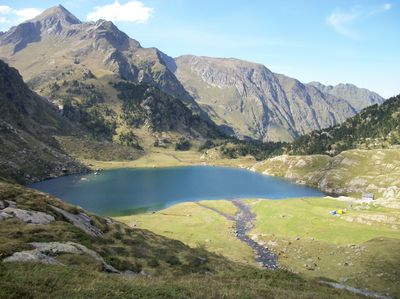
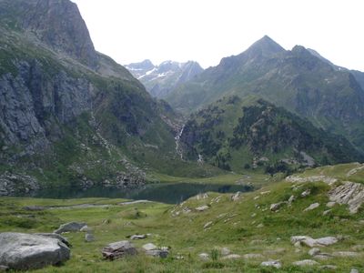
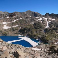
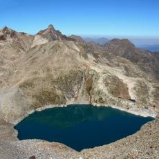
Lac d'Espingo, Mountain reservoir in Haute-Garonne, France
Description
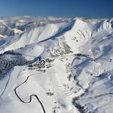
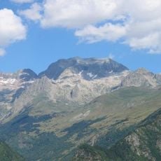
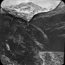
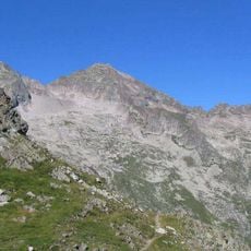
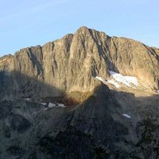
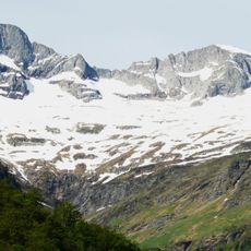
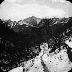
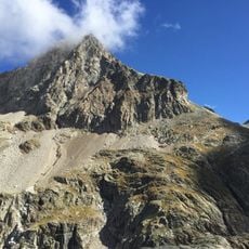
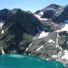
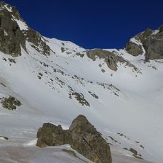
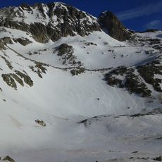
Lac d'Espingo is a reservoir located at an elevation of 6,171 feet (1,882 meters) in the Pyrenees, surrounded by alpine peaks and clear waters reflecting the mountain landscape.
History
In 1836, geologist James David Forbes documented the presence of mica deposits around Lac d'Espingo, contributing to the early understanding of the region's mineral composition and geological characteristics.
Culture
The lake and its surroundings appear in regional folklore, with local traditions featuring stories about mountain spirits and natural guardians that are said to protect the waters of the Pyrenees.
Practical
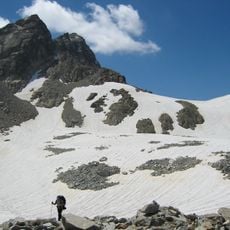
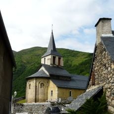
The lake is accessible from late spring to early autumn when snow has melted, with hiking trails starting from the village of Oô covering approximately 2.2 miles (3.6 kilometers) through mountain terrain.
Did you know?
In 1940, researcher Henri Gaussen recorded that Lac d'Espingo receives about 59 inches (1.5 meters) of annual rainfall, making it one of the wettest high-altitude sites in the Pyrenees region.
AroundUs brings together thousands of curated places, local tips, and hidden gems, enriched daily by 60,000 contributors worldwide. Discover all places nearby (Haute-Garonne).
Occitanie hosts a wide variety of lakes spread between the Pyrenees and the Massif Central. Natural lakes mainly occupy high-altitude zones in the Pyrenees, where glacial erosion has carved out cirques and basins now filled with water. Lake Oô, located at 4,950 feet (1,507 meters) altitude, receives...
Lac d'Oô
1.3 km
Peyragudes ski resort
8 km
Perdiguero
4.5 km
Lac du Portillon
3.3 km
Pic de Maupas
5.1 km
Guargas Blancas
3.5 km
Crabioules
4 km
Grand Quayrat
2.3 km
Pic des Spijeoles
2.2 kmSeil de la Baque
3.8 km
Cirque des Crabioules
3.8 km
Pic de Céciré
4.7 km
Pic Lézat
2.9 km
Punta de Lliterola
4 km
Pic Royo
4 km
Pic de Hourgade
3.9 km
Pico de Clarabide
4.4 km
Tour à signaux de Castet
8 km
Punta Lourde Rocheblave
3.6 km
Seil Dera Baquo
4 km
Pic Navarro
4.8 km
Tusse de Remuñe
4.6 km
Cap Dera Baquo Occidental
3.7 km
Cap Dera Baquo Oriental
4 km
Pic Jean Arlaud
3.4 km
Tuca de Lliterola
4.3 km
Pic Gourdon
2.8 km
Église Saint-Jacques
7.8 kmDiscover hidden gems everywhere you go!
From secret cafés to breathtaking viewpoints, skip the crowded tourist spots and find places that match your style. Our app makes it easy with voice search, smart filtering, route optimization, and insider tips from travelers worldwide. Download now for the complete mobile experience.
A unique approach to discovering new places❞
— Le Figaro
All the places worth exploring❞
— France Info
A tailor-made excursion in just a few clicks❞
— 20 Minutes