Tuca de Lliterola, Mountain summit in Benasque, Spain and Haute-Garonne, France.
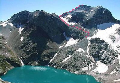
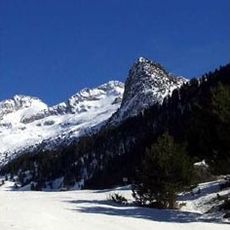
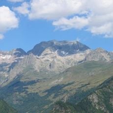
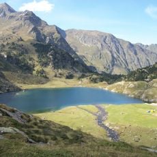
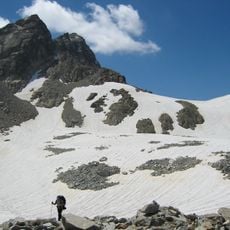
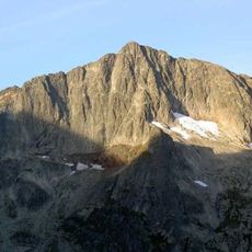
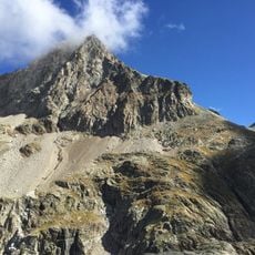
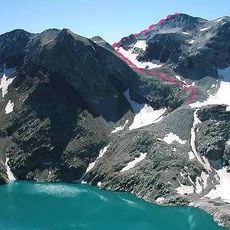
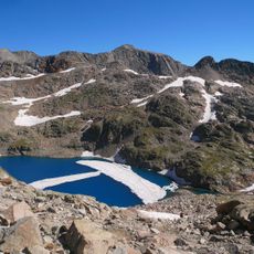
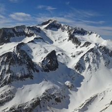
Tuca de Lliterola is a mountain summit at 3,095 meters elevation that marks the natural border between Spain and France within the Perdiguero massif. The peak can be reached via various climbing routes that start from the Benasque Valley on the Spanish side.
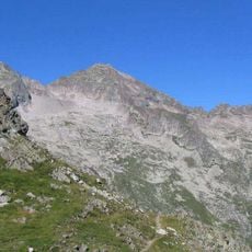
The peak has functioned as a boundary marker between Spain and France since the Pyrenean border treaties were established in the 17th century. This geographical role has shaped its significance in the region ever since.
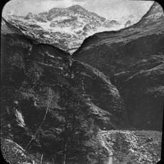
The peak matters to climbers from both Spain and France, each maintaining separate access routes that reflect local mountaineering customs. Visitors encounter these different approaches when approaching from either country.
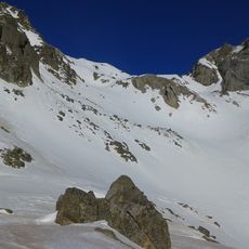
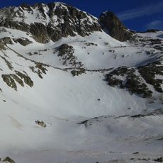
Climbers need proper mountaineering gear and experience, as the routes involve steep and exposed sections. The Refugio del Portillon on the French side provides shelter and serves as a useful waypoint during the ascent.
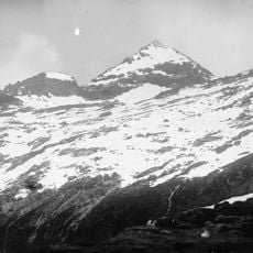
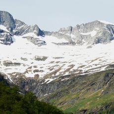
The two sides of the peak display strikingly different rock formations, with glacial remnants visible on the French slope while limestone cliffs characterize the Spanish face. These geological contrasts developed through separate erosion processes on each side of the border.
The community of curious travelers
AroundUs brings together thousands of curated places, local tips, and hidden gems, enriched daily by 60,000 contributors worldwide.