Natural Park of Posets-Maladeta, Natural park in Aragonese Pyrenees, Spain.
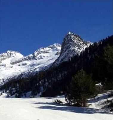
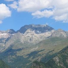
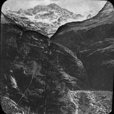
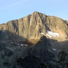
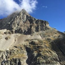
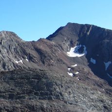
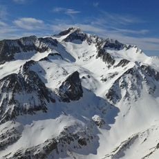
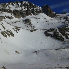
The Natural Park of Posets-Maladeta is a protected area in the Aragonese Pyrenees covering more than 33,000 hectares of mountain terrain. It includes the region's highest peaks, deep valleys, and extensive alpine meadows that form the landscape across the protected zone.
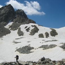
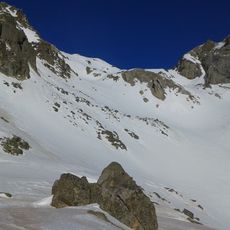
The park was established in 1994 to protect the last permanent glaciers in southern Europe. This designation recognized the importance of these high mountain areas as natural heritage that required protection.
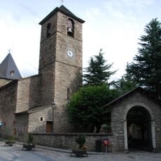
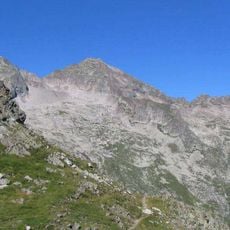
The five villages within the park maintain traditional mountain farming that shapes how the land looks and how people live in these high valleys. Local residents use the meadows and pastures in ways that keep the hillsides green and open, making this farming part of the landscape itself.
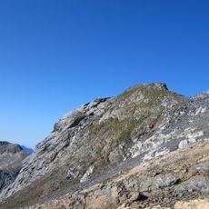
This area is best explored on foot, with several information centers helping visitors understand trails and natural features throughout the park. The warmer months offer the best visiting conditions when snow does not block access to higher-elevation routes.
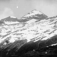
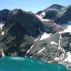
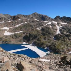
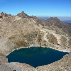
The park contains over one hundred alpine lakes called ibones, created by glacial activity thousands of years ago. These glacial lakes sit at different elevations and create distinctive pockets of water that are scattered throughout the protected area.
The community of curious travelers
AroundUs brings together thousands of curated places, local tips, and hidden gems, enriched daily by 60,000 contributors worldwide.