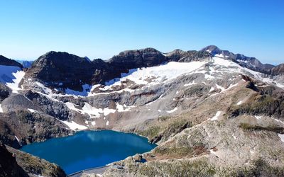
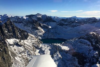
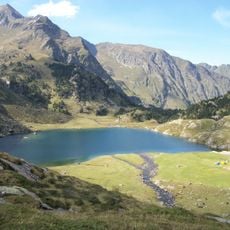
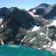
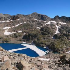
Lac du Portillon, lake in the Pyrénées
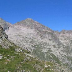
Lac du Portillon is a reservoir in the Haute-Garonne region of France, nestled in the Pyrenees and surrounded by forested slopes and grassy banks. The water sits in a calm basin encircled by walking paths that connect different viewpoints and wind through trees and open spaces.
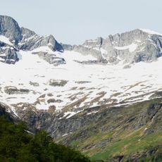
The reservoir was created in 1929 through a dam project built primarily to generate hydroelectric power, and a power plant still operates there today supplying energy to the surrounding region. The construction of this dam marked an important shift in how water resources were managed in the Pyrenees.
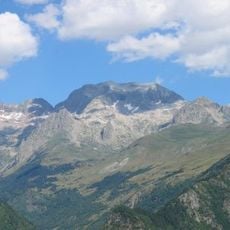
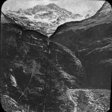
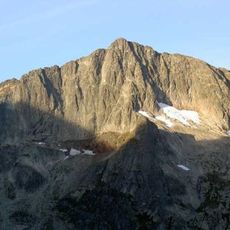
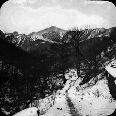
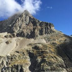
The reservoir takes its name from the nearby Portillon pass, a traditional crossing between valleys in the Pyrenees. Visitors come here to experience the simple rhythm of mountain life and enjoy quiet moments surrounded by nature.
The reservoir is easy to reach with small parking areas nearby and well-marked walking trails circling the water. The paths are straightforward and manageable, allowing you to explore the full area in a short amount of time.
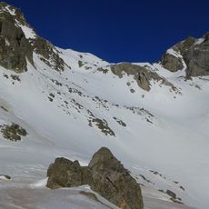
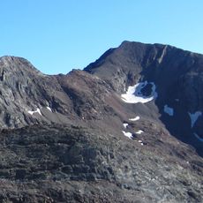
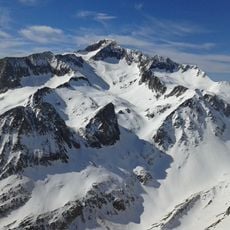
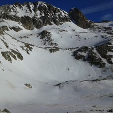
The water is fed by snowmelt and mountain streams from nearby glaciers and peaks, and changes color noticeably with the seasons and time of day. The reflections of the surrounding peaks on the water surface make it a favorite spot for photographers seeking to capture the constantly shifting landscape.
The community of curious travelers
AroundUs brings together thousands of curated places, local tips, and hidden gems, enriched daily by 60,000 contributors worldwide.