Enable Location

We need your location to show you interesting places around you

Discover nearby places

Find interesting locations and hidden gems around you

Precise directions

Get accurate directions and distances to places

Your location is never shared with other users. It's only used when you tap the location button.

Punta de Lliterola

Log in to your account

Start exploring — it's free

Trusted by 61,919 travelers worldwide

Continue with Google
Continue with Apple
or

We will send you a code to connect

By continuing, you accept our Terms and Conditions and our Privacy Policy

Check your inbox

We've sent a pincode in your inbox. Please enter the code below.

Punta de Lliterola

Punta de Lliterola, Summit in Benasque, Spain and Haute-Garonne, France

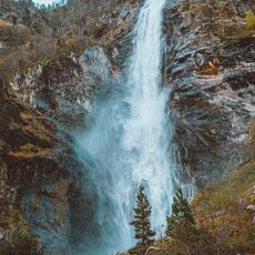
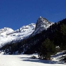
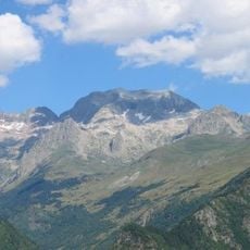
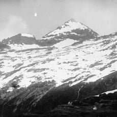
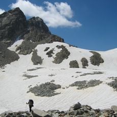
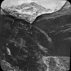
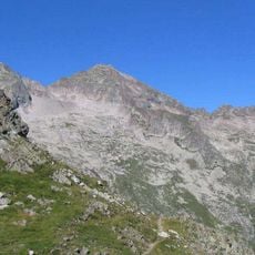
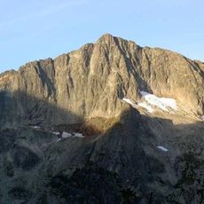
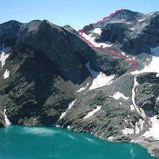
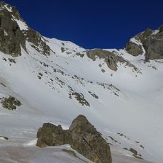
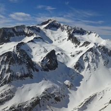
Punta de Lliterola is a mountain summit on the Spain-France border in the Pyrenees, standing at about 3132 meters. The peak is accessed by marked trails that pass through high alpine terrain and multiple mountain passes.

The first documented ascent took place in 1879 when explorer Henry Russell and Célestin Passet reached the summit. This achievement marked the beginning of the mountain's role in the mountaineering history of the region.

The peak carries multiple names reflecting the languages of the Pyrenees border region: Spanish speakers call it Punta de Lliterola while Aranese speakers use Tuca de Lliterola. These different names show how the mountain belongs equally to both cultural worlds that surround it.

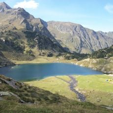
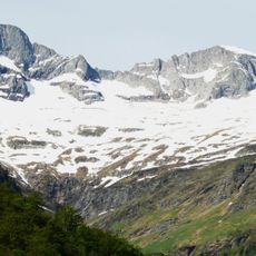
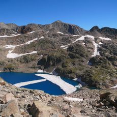
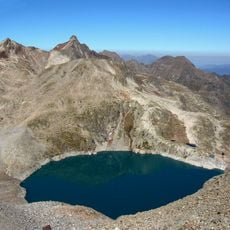
Routes start from Granges d'Astau and pass by mountain lakes including Lac d'Oo on the way to the summit. Climbers need good mountain experience, strong navigation skills, and should be prepared for sudden weather changes.

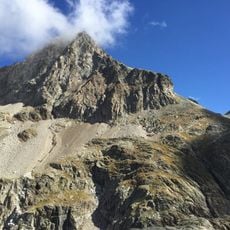
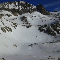
The summit is notable for having two distinct passes: Col Inférieur and Col Supérieur de Literole, offering different routes to the peak. These two cols give climbers options to choose routes based on their experience and ability.

The community of curious travelers

AroundUs brings together thousands of curated places, local tips, and hidden gems, enriched daily by 60,000 contributors worldwide.

Start exploring
Location
Location
Elevation above the sea
3,132 m
GPS coordinates
42.69887,0.52283
Latest update
December 14, 2025 20:27
« Punta de Lliterola - Summit in Benasque, Spain and Haute-Garonne, France » is provided by Around Us (aroundus.com). Images and texts are derived from Wikimedia project under a Creative Commons license. You are allowed to copy, distribute, and modify copies of this page, under the conditions set by the license, as long as this note is clearly visible.

Discover hidden gems everywhere you go!

From secret cafés to breathtaking viewpoints, skip the crowded tourist spots and find places that match your style. Our app makes it easy with voice search, smart filtering, route optimization, and insider tips from travelers worldwide. Download now for the complete mobile experience.

Around Us App Screenshot

A unique approach to discovering new places

Le Figaro

All the places worth exploring

France Info

A tailor-made excursion in just a few clicks

20 Minutes

Around Us
Travel Guide & Maps
Download

Send to your phone

QR Code
1

Open the camera app on your mobile.

2

Point at the QR code with your camera. A notification will appear.

3

Tap the notification to open the link.