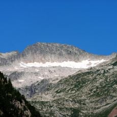
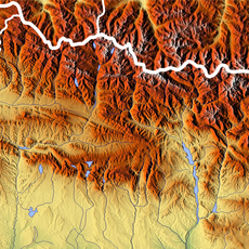
Aneto, Mountain summit in Huesca, Spain
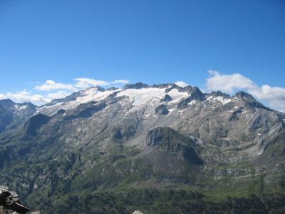
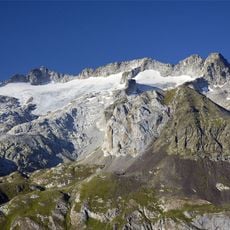
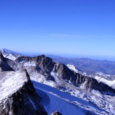
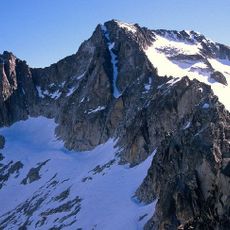
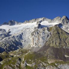
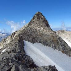
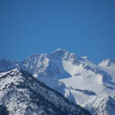
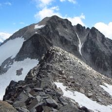
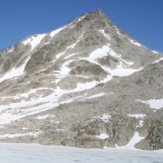
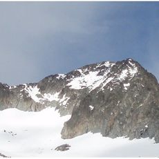
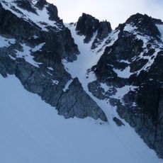
Aneto is a mountain summit in Huesca, Spain, rising to 3404 meters (11168 feet) and formed from granite rock that shapes the Maladeta massif in the Central Pyrenees. The northern slopes drop sharply, while the approach follows a narrow granite ridge known as Mohammed Bridge that narrows to just a few meters wide in places.
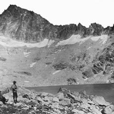
The first documented climb took place on July 20, 1842, when Platon de Tchihatcheff and his team reached the summit and marked it with stones. Over the following decades, the route from Refugio Renclusa became the preferred approach for climbers from across Europe.
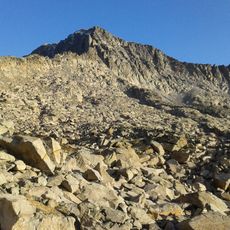
The name comes from the Aragonese dialect and refers to the highest elevation in the entire Pyrenean chain. Mountain guides from the surrounding valleys use traditional routes passed down through generations that hikers still follow today.
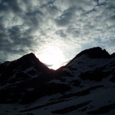
The climb from Refugio Renclusa requires crossing glacial sections and navigating the narrow granite ridge called Mohammed Bridge before reaching the top. Sure footing and a head for heights are necessary, as some passages are just a few meters wide and the surface can be slippery.
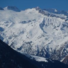
The summit forms a natural watershed where rivers flow toward both the Atlantic Ocean and the Mediterranean Sea. On clear days, the view from the highest point in the Pyrenees stretches to the distant peaks of Monts de Canigou in the east and Picos de Europa in the west.
The community of curious travelers
AroundUs brings together thousands of curated places, local tips, and hidden gems, enriched daily by 60,000 contributors worldwide.