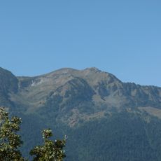
Pic de la Mine, Mountain summit on the French-Spanish border, Haute-Garonne
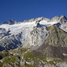
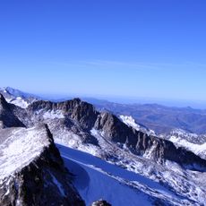
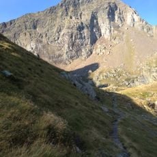
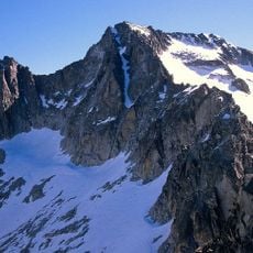
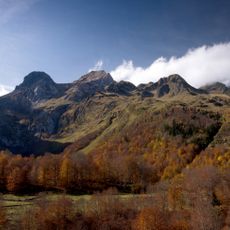
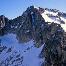
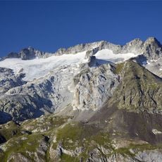
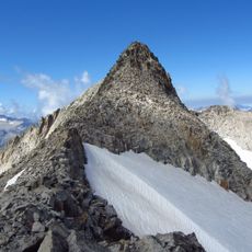
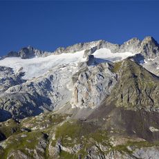
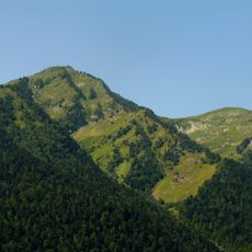
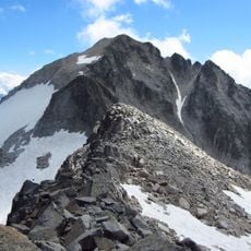
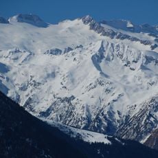
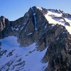
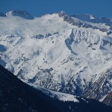
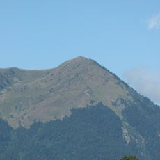
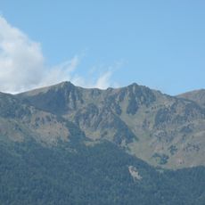
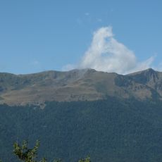
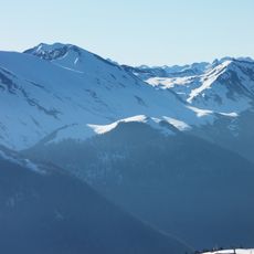
Pic de la Mine is a summit in the Central Pyrenees that marks the natural border between Haute-Garonne in France and the Benasque Valley in Spain. The mountain has a distinctive pointed form and is characterized by alpine meadows and rocky slopes.
The name Pic de la Mine comes from very old mines that are said to have been worked on the mountain. In 1911 J. Haurillon and Rouyer made the first ascent of the Bec de Corbeau (2,595 m), and in 1923 J. Morin, J. Giroix and M. Gysin first climbed the Aiguille Morin, both on the north-east ridge.
The name comes from very old mines that are said to have been worked on the mountain. The north-east ridge carries three named rock spires: the aiguille Morin, first climbed in 1923 by J. Morin, J. Giroix and M. Gysin, and the Bec de Corbeau (2,595 m), first climbed in 1911 by J. Haurillon and Rouyer.
The ascent is difficult because the rock quality is poor, so rope and helmet are advisable on the main routes. The north-west face above the Pique valley is steep, and the three needles of the north-east ridge (aiguille Morin, Bec de Corbeau at 2,595 m, Petit Corbeau) are passed on that line. A Météo-France Nivôse snow station stands near the Maupas refuge at 2,430 m, close to the peak.
The name comes from very old mines reportedly worked on the mountain, though no visible mining remains are described. The north-east ridge carries three named rock needles: the aiguille Morin, first climbed in 1923 by J. Morin, J. Giroix and M. Gysin, and the Bec de Corbeau (2,595 m), first climbed in 1911 by J. Haurillon and Rouyer.
The community of curious travelers
AroundUs brings together thousands of curated places, local tips, and hidden gems, enriched daily by 94,664 contributors worldwide.