Chest opened
+${chestReward.xp} XP
Explorer
NOUVEAU ×${chestReward.collectible.quantity}
tapez pour fermer

See the monuments around you in AR Open chests in the app

Around Us is built for your phone — point your camera at the streets and discover the monuments and places around you in augmented reality. Around Us is built for your phone — chests unlock when you walk, explore and capture nearby places.

Enable Location

We need your location to show you interesting places around you

Discover nearby places

Find interesting locations and hidden gems around you

Precise directions

Get accurate directions and distances to places

Your location is never shared with other users. It's only used when you tap the location button.

Seil de la Baque

Log in to your account

Start exploring — it's free

Trusted by 83,500 travelers worldwide

Continue with Google
Continue with Apple
or

We will send you a code to connect

By continuing, you accept our Terms and Conditions and our Privacy Policy

Check your inbox

We've sent a pincode in your inbox. Please enter the code below.

Seil de la Baque
Discussion Reviews 1 Photos
900+ Popularity

Seil de la Baque, Glacier in Oô, France

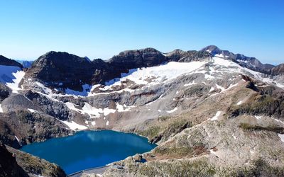
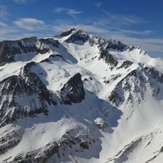
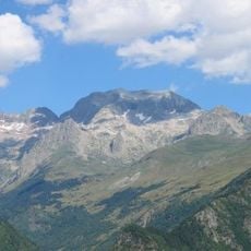
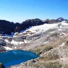
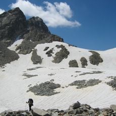
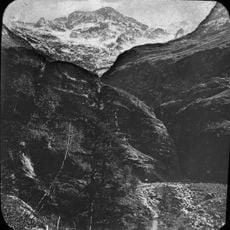
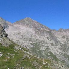
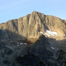
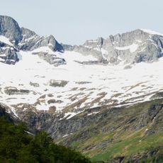
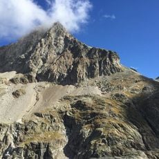
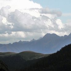
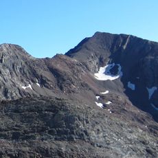
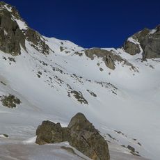
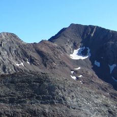
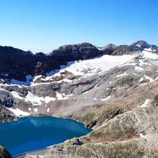
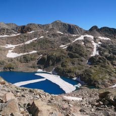
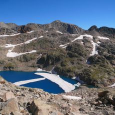
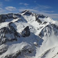
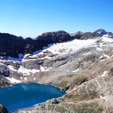
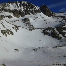
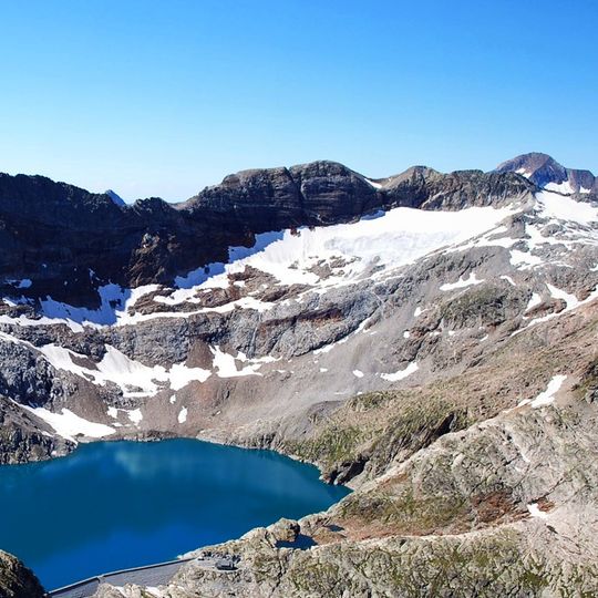
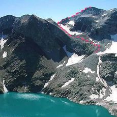
Seil de la Baque is a high mountain ridge in the French Pyrenees, in the commune of Oô, running from the Cap du Seil de la Baque to the Pic du Portillon d'Oô over nearly 2 kilometers. The crest sits above 3,100 meters (about 10,170 feet) and alternates between narrow rocky sections, short cliff crossings, and a few loose terrain passages.

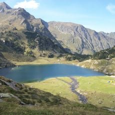
The high pastures around the Seil de la Baque were used by shepherds from the valley villages long before mountaineers began exploring the ridges in the 19th century. The current routes partly follow old transhumance paths that linked the upland grazing areas across the mountain.

The name "Seil de la Baque" comes from Occitan and roughly translates to "back of the cow," referring to the shape of the ridge. Walkers on the crest are guided by cairns left by previous climbers, a quiet tradition that continues today.

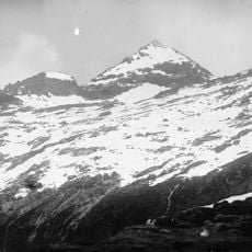
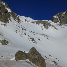
The approach starts from the village of Oô and passes through the Granges d'Astau before reaching the Refuge du Portillon, where many climbers spend the night to get an early start. Outside of summer, crampons and an ice axe are needed to safely cross the snowier sections near the cap.

The trickiest section of the traverse is a steep vertical corner called a dièdre, found on the descent from the Pic du Portillon. Fixed anchors are in place for those who prefer to rappel rather than climb down this corner, which is rated around grade IV.

The community of curious travelers

AroundUs brings together thousands of curated places, local tips, and hidden gems, enriched daily by 60,000 contributors worldwide.
Start exploring
Location
GPS coordinates
42.69448,0.49450
Latest update
August 21, 2026 15:28
Reviews
Share your experience

No review yet

Discussions
Start a discussion...

No discussion yet

« Seil de la Baque - Glacier in Oô, France » is provided by Around Us (aroundus.com). Images and texts are derived from Wikimedia project under a Creative Commons license. You are allowed to copy, distribute, and modify copies of this page, under the conditions set by the license, as long as this note is clearly visible.

Discover hidden gems everywhere you go!

From secret cafés to breathtaking viewpoints, skip the crowded tourist spots and find places that match your style. Our app makes it easy with voice search, smart filtering, route optimization, and insider tips from travelers worldwide. Download now for the complete mobile experience.
Around Us App Screenshot

A unique approach to discovering new places

Le Figaro

All the places worth exploring

France Info

A tailor-made excursion in just a few clicks

20 Minutes

Around Us
Travel Guide & Maps
Download

Send to your phone

QR Code
1

Open the camera app on your mobile.

2

Point at the QR code with your camera. A notification will appear.

3

Tap the notification to open the link.