Oô, commune in Haute-Garonne, France
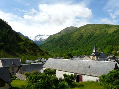
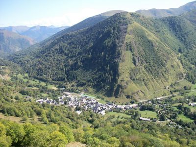
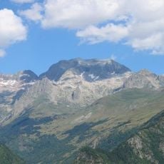
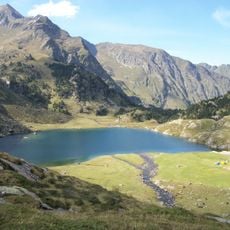
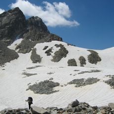
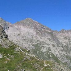
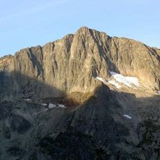
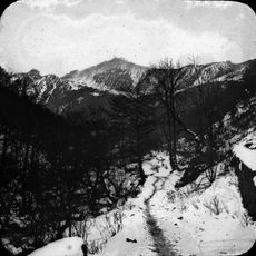
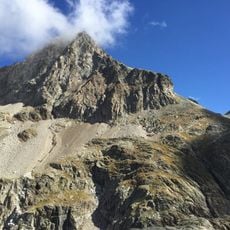
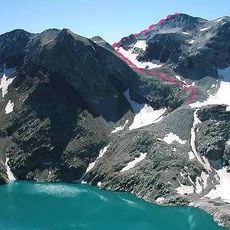
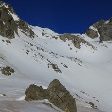
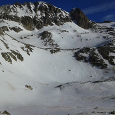
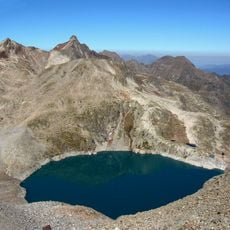
Oô is a small commune in the Haute-Garonne mountains of southern France, situated at approximately 960 meters elevation with traditional stone houses and narrow pathways throughout. The area spans terrain rising from around 950 meters to over 3,200 meters, surrounded by forested slopes and the nearby Lac d'Oô.
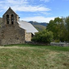
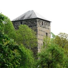
Oô has a history spanning many generations with deep roots in mountain pastoral traditions involving local shepherds and farmers. The old stone buildings reflect construction styles of past eras and show the simple way of life that residents maintained over centuries.
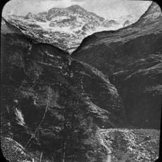
Narrow, winding roads lead into the village and require careful driving, particularly during winter months when snow covers the mountain peaks. The location works best as a base for hiking and outdoor activities, with summer months providing milder weather for exploration.
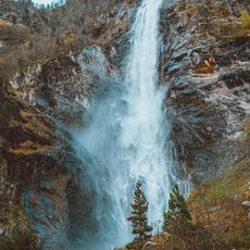
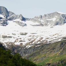
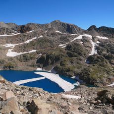
Lac d'Oô was historically valued by villagers who believed its waters held protective powers against harsh weather, reflecting the deep connection residents felt with their natural surroundings. This local belief shaped how the community related to their environment over generations.
The community of curious travelers
AroundUs brings together thousands of curated places, local tips, and hidden gems, enriched daily by 60,000 contributors worldwide.