
Torrubia del Campo, municipality of Spain
Location: Cuenca Province
Capital city: Torrubia del Campo
Elevation above the sea: 797 m
Part of: Mancomunitat de Municipis «El Girasol», Mancomunitat «Informancha»
Shares border with: Almendros, Uclés, Pozorrubio, Horcajo de Santiago, El Acebrón, Villarrubio
GPS coordinates: 39.89722,-2.96139
Latest update: March 10, 2025 08:11
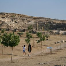
Segóbriga
12.7 km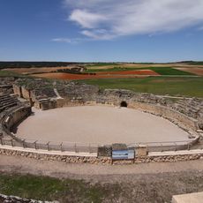
Segóbriga amphitheatre
12.7 km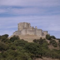
Castillo de Puebla de Almenara
15.6 km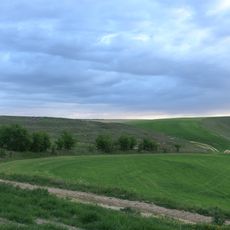
Cuarto de Bayona
20.5 km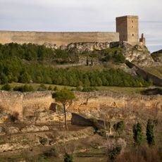
Castillo de Uclés
12.4 km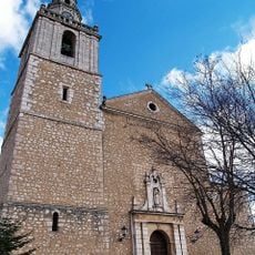
Church of Nuestra Señora de la Asunción, Tarancón
13.2 km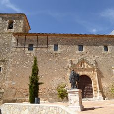
Church of Santo Domingo de Silos, Tribaldos
10 km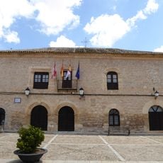
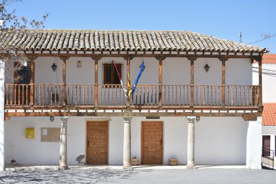
Town hall of Villamayor de Santiago
19 km
Ermita de las Angustias, Uclés
12.5 km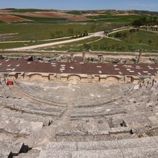
Roman theater of Segóbriga
12.7 km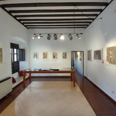
Museo de Arte Casa Parada
13.3 km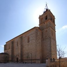
Church of the Immaculate Conception, Horcajo de Santiago
6.8 km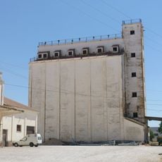
Silo de Tarancón
12.7 km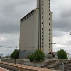
Silo de Tarancón III
12.7 km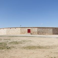
Bullring of Villamayor de Santiago
19.8 km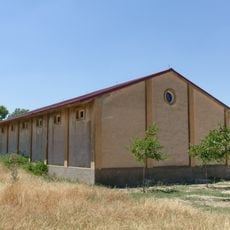
Granero de Huelves
17.4 km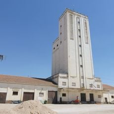
Silo de Tarancón II
12.7 km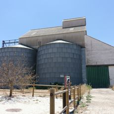
Silo de Villarrubio
8.1 km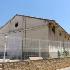
Granero de Tarancón
12.7 km
Silo of Saelices II
13.2 km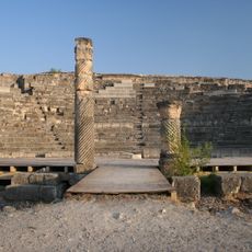
Segóbriga
13.1 km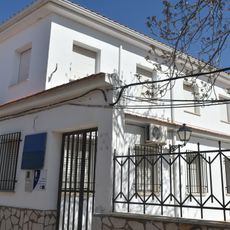
Biblioteca Pública Municipal de Torrubia del Campo
188 m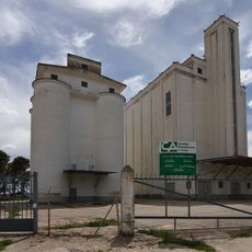
Silo of Saelices
13.2 km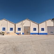
Granero de Horcajo de Santiago
7.3 km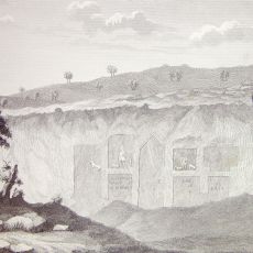
Templo de Diana, Saelices
12.5 km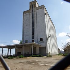
Silo of Villamayor de Santiago
19.1 km
Granero de Villamayor de Santiago
19.1 km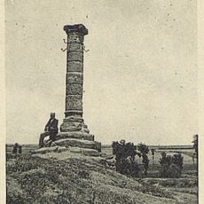
Rollo de Cabezamesada
15.4 kmVisited this place? Tap the stars to rate it and share your experience / photos with the community! Try now! You can cancel it anytime.
Discover hidden gems everywhere you go!
From secret cafés to breathtaking viewpoints, skip the crowded tourist spots and find places that match your style. Our app makes it easy with voice search, smart filtering, route optimization, and insider tips from travelers worldwide. Download now for the complete mobile experience.

A unique approach to discovering new places❞
— Le Figaro
All the places worth exploring❞
— France Info
A tailor-made excursion in just a few clicks❞
— 20 Minutes