Fermoselle, Medieval settlement in Zamora Province, Spain
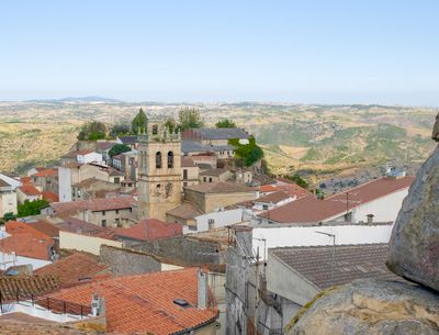
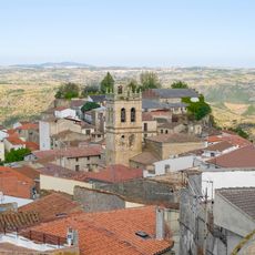
Fermoselle is a settlement in Zamora Province situated 669 meters (2,195 feet) above sea level on a hillside overlooking the Douro River. Stone buildings are arranged along narrow streets that follow the natural slope, creating a compact village layout.
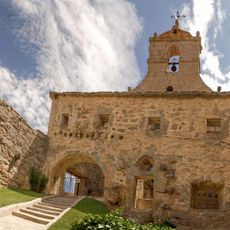
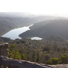
The settlement began in pre-Roman times and evolved over centuries into a strategic location along the Spanish-Portuguese border. Its position on the Douro River made it important for trade and defense throughout different periods.
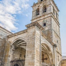
The village features rustic stone houses and medieval street layouts that follow the natural hillside. Traditional water fountains and narrow lanes create the distinctive character visible when walking through the streets today.
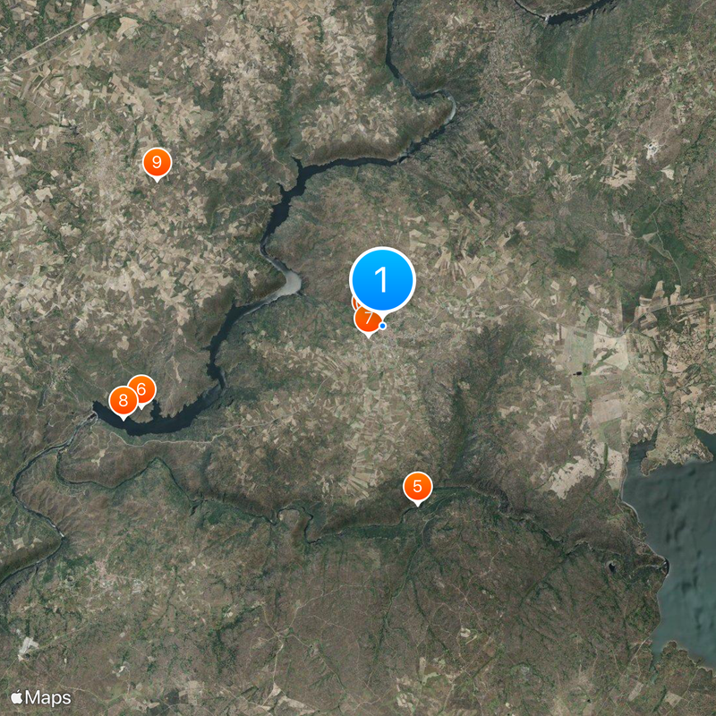
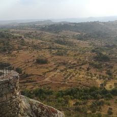
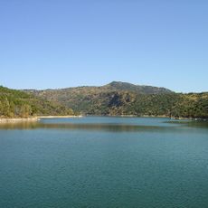
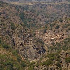
Visitors can explore hiking trails and nature observation areas in the nearby Arribes del Duero Natural Park directly from the village. The terrain is hilly and sometimes steep, so comfortable walking shoes are recommended for getting around.
The terraced vineyards around the village grow the Juan García grape variety, which proved resilient during the regional phylloxera outbreak. This grape variety remains distinctive to the wines produced in this region today.
Location: Zamora Province
Capital city: Fermoselle
Elevation above the sea: 669 m
Part of: Intermunicipalité « Sayagua »
Shares border with: Villar del Buey, Almendra, Trabanca, Villarino de los Aires, Mogadouro, Miranda do Douro
Website: http://fermoselle.es
GPS coordinates: 41.31741,-6.39492
Latest update: December 7, 2025 10:01
Sendim
7.5 km
Castle of Fermoselle
284 m
Pozo Airón
15.4 km
Church of Our Lady of the Assumption
400 m
Conjunto histórico artístico la Villa de Fermoselle
296 m
Convent of Saint Francis
373 m
Eremitério Os Santos
8 km
Pelourinho de Bemposta
9.1 km
Igreja de São Cristóvão
13 km
Miradouro de Freixiosa
14 km
Almendra Reservoir
13.2 km
Empreendimento Hidroeléctrico do Douro Internacional
8.4 km
Bemposta Reservoir
6 km
Igreja Paroquial de Bemposta
9.2 km
Igreja Paroquial de Algosinho
14.8 km
Miradouro de la Peinha de l Puio
9.2 km
Muralha da Bemposta
9.1 km
Empreendimento Hidroeléctrico do Douro Internacional / Picote
8.3 km
Capela de Picote
8.6 km
La Rachita viewpoint
8.7 km
Mirador de la Ermita de Nuestra Señora del Castillo
12.7 km
Capela de Santo Cristo
9 km
Capela de São Fagundo
5.9 km
Capela de Santo Cristo (Palaçoulo)
13.2 km
Mirador de Las Escaleras
3 km
Miradores de la presa de Almendra I y II
7.8 km
Mirador del Meandro del Duero
5.4 km
Chapel of Our Lady of the Castle
12.6 kmVisited this place? Tap the stars to rate it and share your experience / photos with the community! Try now! You can cancel it anytime.
Discover hidden gems everywhere you go!
From secret cafés to breathtaking viewpoints, skip the crowded tourist spots and find places that match your style. Our app makes it easy with voice search, smart filtering, route optimization, and insider tips from travelers worldwide. Download now for the complete mobile experience.
A unique approach to discovering new places❞
— Le Figaro
All the places worth exploring❞
— France Info
A tailor-made excursion in just a few clicks❞
— 20 Minutes