Enable Location

We need your location to show you interesting places around you

Discover nearby places

Find interesting locations and hidden gems around you

Precise directions

Get accurate directions and distances to places

Your location is never shared with other users. It's only used when you tap the location button.

Palas de Rei

Log in to your account

Start exploring — it's free

Trusted by 64,715 travelers worldwide

Continue with Google
Continue with Apple
or

We will send you a code to connect

By continuing, you accept our Terms and Conditions and our Privacy Policy

Check your inbox

We've sent a pincode in your inbox. Please enter the code below.

Discussion Reviews 1 Photos
16.7k Popularity

Palas de Rei, municipality of Spain

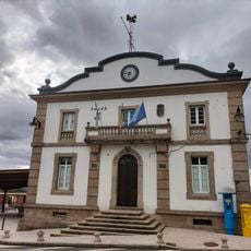
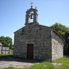
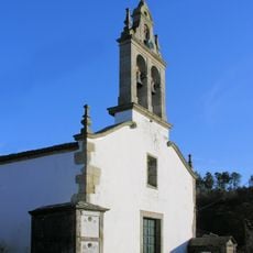
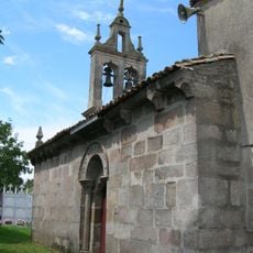
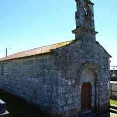
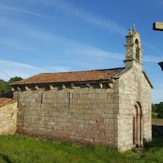
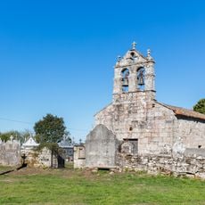
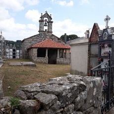
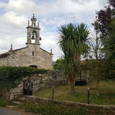
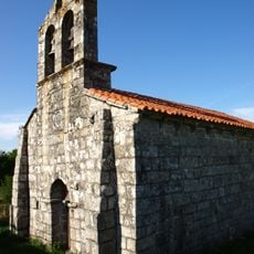
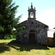
Palas de Rei is a municipality in Lugo Province, in the autonomous community of Galicia, in northwestern Spain. It consists of the main village and many small hamlets spread across rolling farmland and wooded hills.

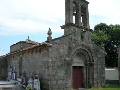
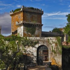
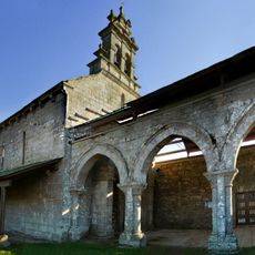
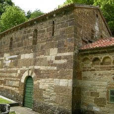
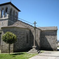
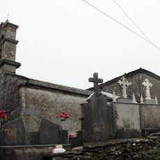
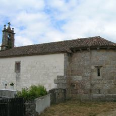
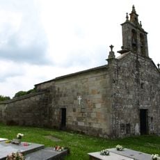
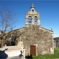
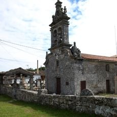
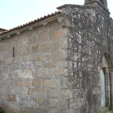
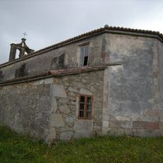
The settlement was recognized as a resting stop on the Way of St. James in the early medieval period, serving travelers heading to Santiago de Compostela. Its name may come from a Visigothic king said to have lived in the area.

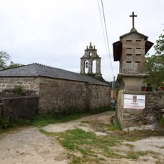
Palas de Rei sits on the last stretch of the Camino Francés before Santiago de Compostela, which gives it a particular energy among pilgrims passing through. In the small cafes and bars, walkers from many countries sit together and talk about the road ahead.

The town offers basic services for walkers and travelers, including places to sleep, small shops, and cafes, all found near the center of the main village. Arriving early in the day is a good idea, as beds fill up quickly during the busier months on the Camino.

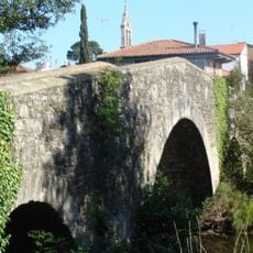
Palas de Rei marks the start of the last 100 kilometers of the Camino Francés, which is the minimum distance required to receive the official pilgrimage certificate known as the Compostela. This means many pilgrims begin their journey here, giving the town a starting-point character that sits alongside its role as a stopping place.

The community of curious travelers

AroundUs brings together thousands of curated places, local tips, and hidden gems, enriched daily by 60,000 contributors worldwide.

Start exploring
Location
Elevation above the sea
534 m
Part of
Mancomunidade de Concellos Galegos do Camiño Francés
Shares border with
Melide, A Coruña, Toques, Friol, Guntín, Monterroso, Antas de Ulla, Agolada, Santiso
GPS coordinates
42.87361,-7.86944
Latest update
March 3, 2026 10:14
Reviews
Share your experience

No review yet

Discussions
Start a discussion...

No discussion yet

« Palas de Rei - municipality of Spain » is provided by Around Us (aroundus.com). Images and texts are derived from Wikimedia project under a Creative Commons license. You are allowed to copy, distribute, and modify copies of this page, under the conditions set by the license, as long as this note is clearly visible.

Discover hidden gems everywhere you go!

From secret cafés to breathtaking viewpoints, skip the crowded tourist spots and find places that match your style. Our app makes it easy with voice search, smart filtering, route optimization, and insider tips from travelers worldwide. Download now for the complete mobile experience.

Around Us App Screenshot

A unique approach to discovering new places

Le Figaro

All the places worth exploring

France Info

A tailor-made excursion in just a few clicks

20 Minutes

Around Us
Travel Guide & Maps
Download

Send to your phone

QR Code
1

Open the camera app on your mobile.

2

Point at the QR code with your camera. A notification will appear.

3

Tap the notification to open the link.