Ría de Arousa

Log in to your account

AroundUs is a community-driven map of interesting places, built by curious explorers like you. It grows with every review, story, and photo you share.
Connect to save your favorite spots, contribute locations, and create personalized routes.
Continue with Google
Continue with Apple
Continue with X
Continue with Facebook
Continue with email
By continuing, you accept our Terms and Conditions and our Privacy Policy
Create an account

Ría de Arousa

Add to collection
Map
Suggest a change
Share

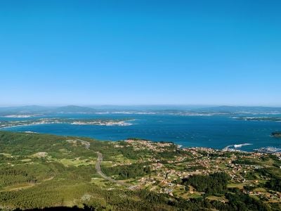
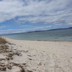
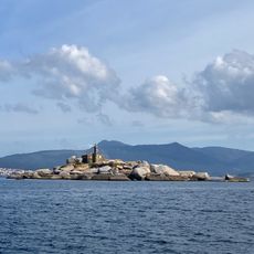
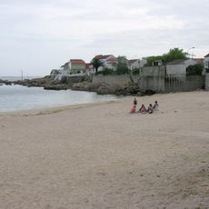
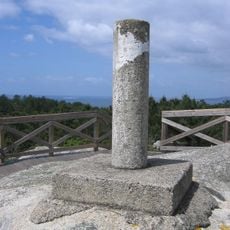
Ría de Arousa, Coastal estuary in Galicia, Spain

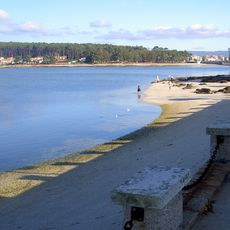
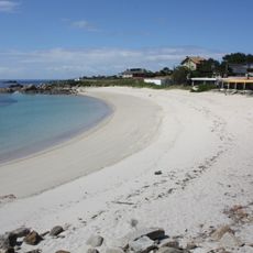
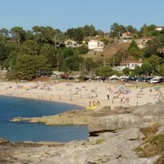
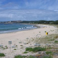
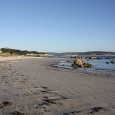
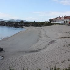
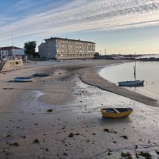
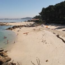
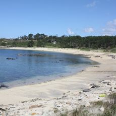
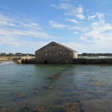
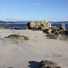
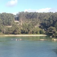
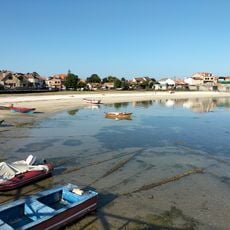
Ría de Arousa is a large estuary sprawling between A Coruña and Pontevedra provinces, dotted with islands including Sálvora, Cortegada, and A Toxa across its waters. The bay is ringed by shallow shores where mussel cultivation platforms cover the surface and small villages dot the coastline.

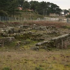
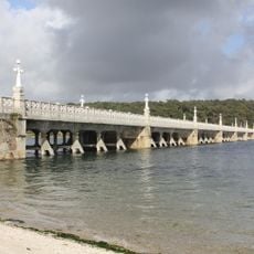
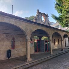
In the 11th century, the Torres de Oeste fortifications were built in Catoira to defend the estuary from Viking attacks, standing guard throughout the medieval period. These fortresses allowed fishing communities to develop and settle more safely along these waters.

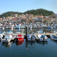
The estuary is central to daily fishing and shellfish farming, with workers tending cultivation platforms from small boats in an ancient practice. This labor shapes local meals and community life in a way that has remained unchanged for centuries.

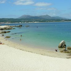
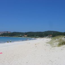
Visitors can explore the estuary through boat tours starting from Vilagarcía de Arousa, which offer close views of the cultivation platforms and coastal villages. The best time to visit is during clear weather when visibility allows you to see the islands and working zones clearly.

The waters surrounding this estuary create conditions favoring Albariño grape cultivation in nearby vineyards, producing notable white wines within the Rías Baixas region. This link between marine conditions and wine production is unusual in these parts and shapes what restaurants in the area serve.

Location: A Coruña Province

Location: Pontevedra Province

Part of: Atlantic Ocean

Address: Ría de Arousa, Spain

GPS coordinates: 42.50000,-8.93333

Latest update: January 19, 2026 12:36

Photos
Highlights of Galicia: history, nature, and the Atlantic coast

Galicia lies in the northwest of Spain, between the Atlantic Ocean and the mountains that separate it from the Iberian Peninsula. For centuries, pilgrims have walked here to reach Santiago de Compostela, but there is more than just the famous path. Its towns hold memories of sea and faith:...

Reviews

Visited this place? Tap the stars to rate it and share your experience / photos with the community! Try now! You can cancel it anytime.

« Ría de Arousa - Coastal estuary in Galicia, Spain » is provided by Around Us (aroundus.com). Images and texts are derived from Wikimedia project under a Creative Commons license. You are allowed to copy, distribute, and modify copies of this page, under the conditions set by the license, as long as this note is clearly visible.

Discover hidden gems everywhere you go!

From secret cafés to breathtaking viewpoints, skip the crowded tourist spots and find places that match your style. Our app makes it easy with voice search, smart filtering, route optimization, and insider tips from travelers worldwide. Download now for the complete mobile experience.

Around Us App Screenshot

A unique approach to discovering new places

Le Figaro

All the places worth exploring

France Info

A tailor-made excursion in just a few clicks

20 Minutes